
The Fish River Canyon is the centrepiece of Namibia's deep south: often called the second-largest canyon in the world, best seen from the rim at sunrise or sunset. Around it, Lüderitz is a German port town on a wild coast, Kolmanskop is the diamond-boom ghost town slowly filling with sand, and the red dunes of the Kalahari begin to the east.
This is the add-on for longer trips, not the core circuit: a week of the classic route first, then the south if there is time and appetite for the road.
Researched profile: this page is written from our planning research and partner knowledge rather than a Wild Atlas stay — when that changes, this line comes off.

The Fish River Canyon lies in the far south of Namibia inside the Ai-Ais/Richtersveld Transfrontier Park, about 160 kilometres long, up to 27 kilometres wide and some 550 metres deep, carved by Namibia's longest river into rock that is more than a billion years old. The main viewpoint at Hobas looks down on the river's great bends; the Ai-Ais hot springs sit at the southern end. Two hundred kilometres west, Lüderitz sits on a rocky Atlantic bay, and Kolmanskop, the diamond town abandoned in the 1950s, stands in the dunes outside it with sand drifting through the doorways of its grand houses. Between the canyon and the coast is the Sperrgebiet, the old diamond-restricted area and now the Tsau ǁKhaeb National Park, and to the east the Kalahari's red dunes run into the Kgalagadi.
The south is big and empty even by Namibian standards. Distances are the trip, and most of it is on gravel.
The canyon from the rim at the ends of the day; the five-day Fish River Canyon hiking trail from Hobas to Ai-Ais for the fit and properly prepared, open only in the cooler months and booked well ahead; and the quieter walks and drives on the private reserves on the canyon's edge, which have their own viewpoints and far fewer people than Hobas. At the coast: Kolmanskop in the early light, before the tour buses, the Lüderitz peninsula's bays and penguins, and crayfish on the harbour. On the Kalahari side, red dunes, gemsbok and meerkats, and the quiver tree forests near Keetmanshoop at sunset.
The wild horses of the Namib near Aus, descendants of animals abandoned a century ago, are the strange roadside sight between the canyon and the coast.
The south is a winter region. May to September brings cool, clear days, cold nights, the hiking trail open and the canyon at its most comfortable; it is the only sensible window for the trail and the best for everything else. April and October are warm but workable shoulders. From November to March the canyon floor and the Kalahari are extremely hot, often well above 40 degrees, and the trail is closed; the coast at Lüderitz stays cool and windy, as it does all year.
For the hiking trail, permits go a season ahead; for the lodges, book May–September by January.
The canyon is a full day's drive south of Windhoek, about 650 kilometres, or around two and a half hours' drive north of the South African border on the way to or from Cape Town, which is the natural way to add it: as the first or last leg of a Namibia and Cape Town trip by road. Light aircraft can reach the private reserves on the rim. Allow two nights at the canyon, one or two at Lüderitz if Kolmanskop is on the list, and a night in the Kalahari on the way back toward Windhoek.
The private reserves on the canyon's edge, with their own rim viewpoints and walking, are where to sleep; Lüderitz has small hotels and guesthouses, and the Kalahari has a few lodges set in the red dunes. We place clients property by property in the south and will say honestly where the choice is thin.
See the Namibia country page for how the south fits a longer trip, and Sossusvlei for the dunes on the way north.
Plan this trip with us. $250 planning fee, credited in full toward your trip.
The Amalfi Coast is thirty miles of cliff road between Sorrento and Salerno, with towns stacked into the ravines and the sea below. It is the Italy of the postcards, and in the right month, in the right town, it earns every one of them.
The decision that matters is the base. Positano is the scene: the famous view, the beach clubs, the stairs, the crowds. Ravello, 350 meters up, is the quiet: gardens, the view down over the coast, and the concerts. Amalfi itself is the working town in the middle. Pick one, stay three or four nights, and do the rest by boat.
Researched profile: this page is written from our planning research and partner knowledge rather than a Wild Atlas stay — when that changes, this line comes off.

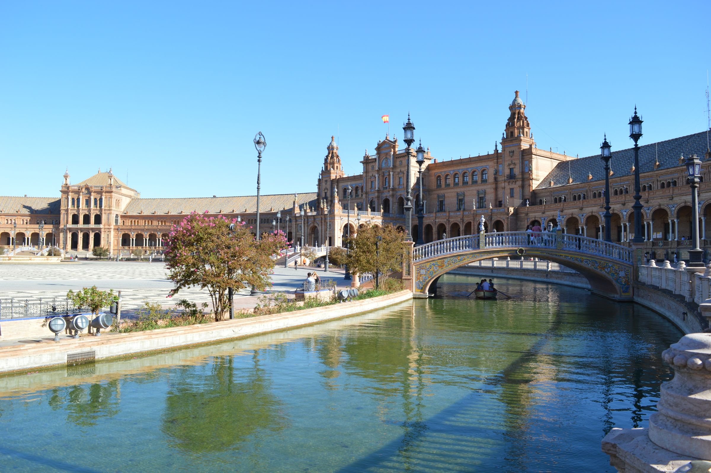
Andalucía is the Spain most people picture: Moorish palaces, orange trees, white streets and flamenco. Seville, Córdoba and Granada make one classic circuit, about a week by train, and it is the center of most Spain trips I plan.
Two things decide whether it works. The Alhambra runs on timed tickets that sell out, so its date fixes the rest of the route. And the heat: this is a spring and autumn trip, not a July one.
Researched profile: this page is written from my planning research and partner knowledge rather than a stay of my own here, and when that changes, this line comes off.
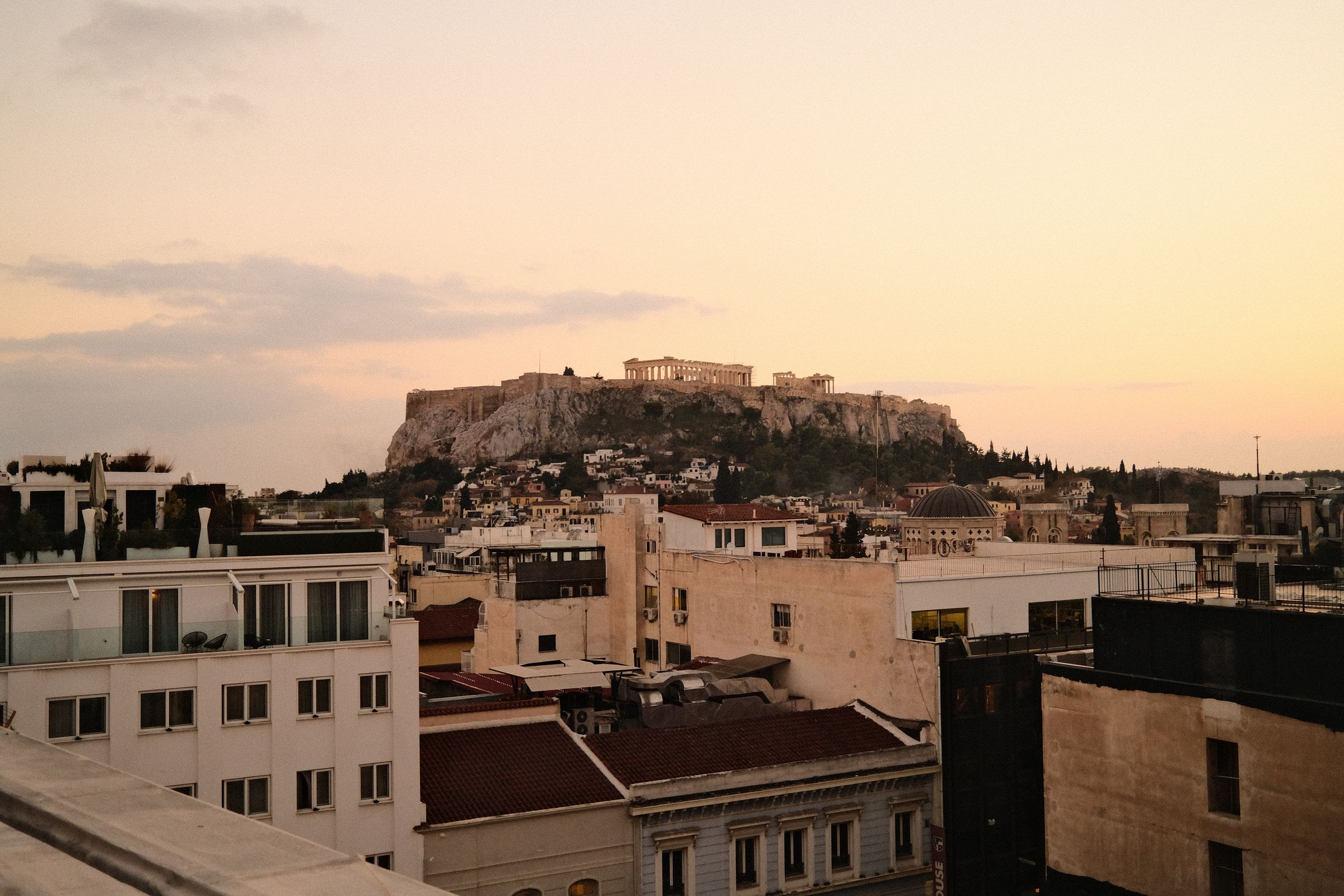
Athens is where nearly every Greece trip begins, and too many people treat it as a stop between the airport and the ferry. Give it two nights and it pays you back: the Acropolis and its museum, the old streets of the Plaka below them, and one of the best food cities in the Mediterranean.
Timing is the whole game. The Acropolis is a different place at opening time than at noon in July, so I build the first morning around it.
Researched profile: this page is written from my planning research and partner knowledge rather than a stay of my own here, and when that changes, this line comes off.
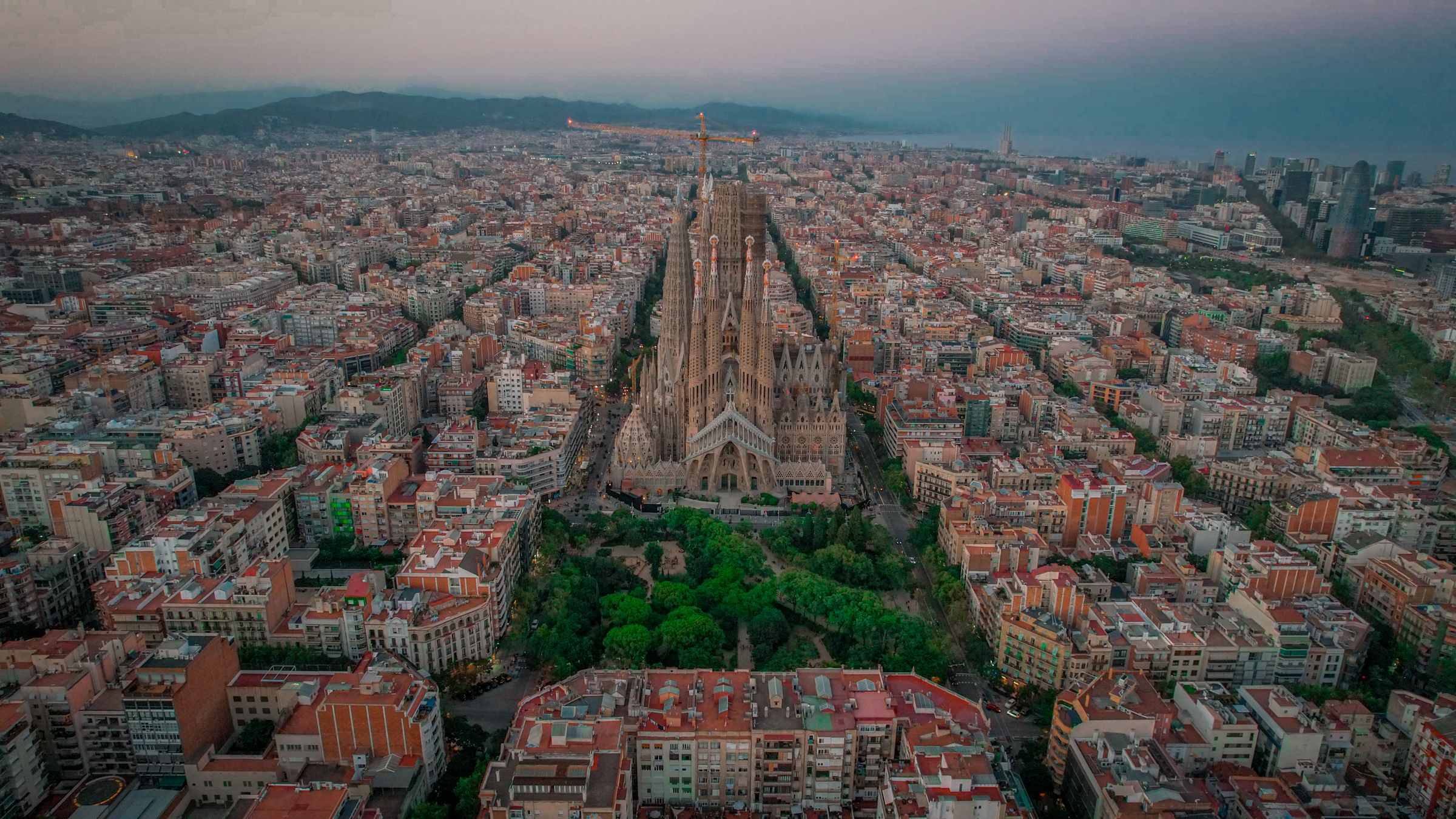
Barcelona is a city and a beach town at once: Gaudí's buildings, a medieval quarter, a long seafront and a food scene to plan meals around. Three nights covers it well.
Two things shape the stay. Gaudí needs booking ahead, because the big sites run on timed tickets. And the base matters: the old Gothic Quarter or the wide, elegant streets of the Eixample.
Researched profile: this page is written from my planning research and partner knowledge rather than a stay of my own here, and when that changes, this line comes off.
Clare is the middle of the west coast: the Cliffs of Moher, the strange grey limestone of the Burren behind them, and small music towns like Doolin.
The Cliffs are the name, but the Burren is the surprise. I time the Cliffs for early or late in the day and give the Burren a slow half-day of its own.
Researched profile: this page is written from my planning research and partner knowledge rather than a stay of my own here, and when that changes, this line comes off.

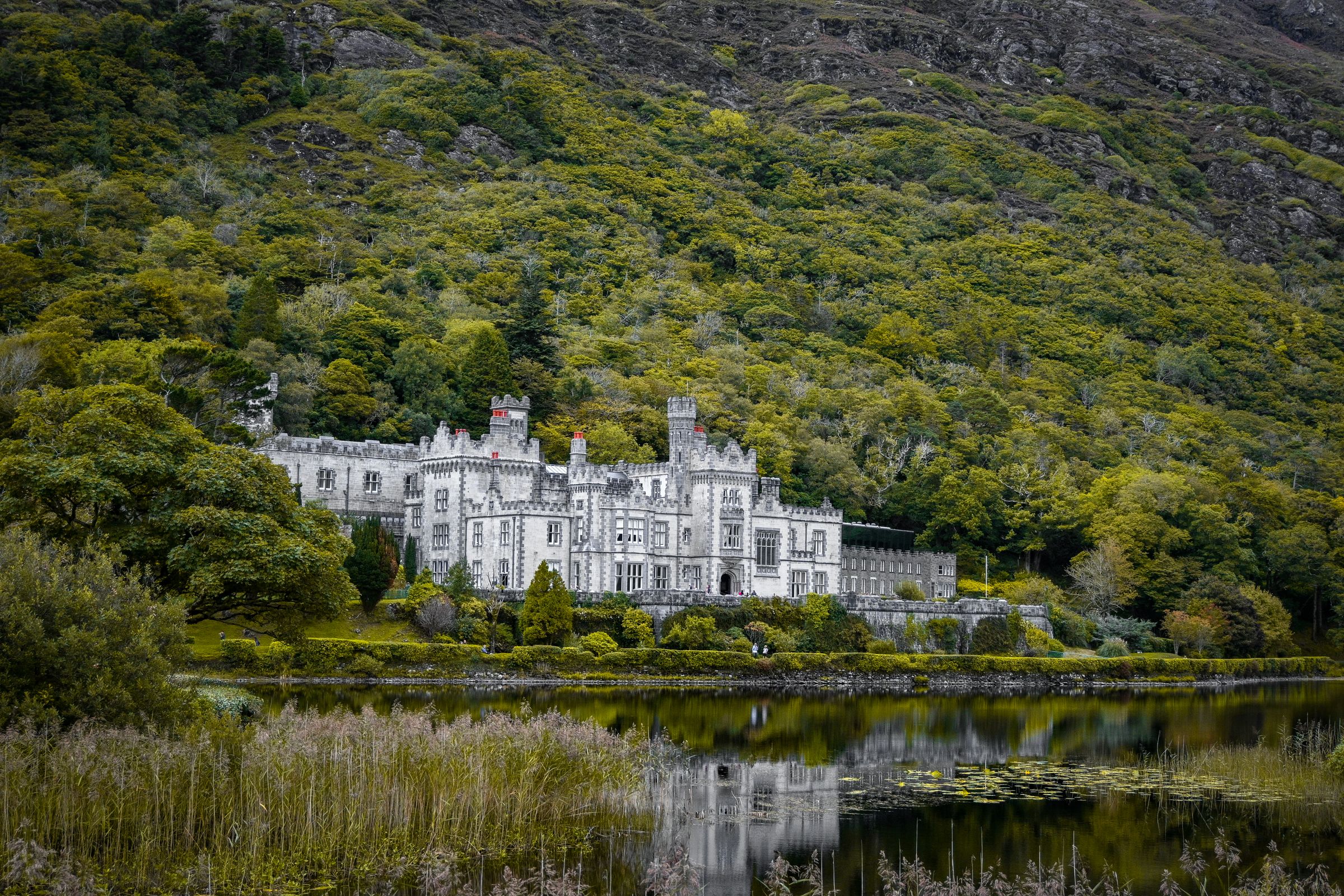
Connemara and Mayo are the far west: lakes, bog, mountains, and a coast of islands and small harbors, with far fewer people than Kerry.
Ashford Castle at Cong is the natural base, and here the castle stay is part of the trip, not just a bed: days on the estate and Lough Corrib, and the drives out into Connemara from its door.
Researched profile: this page is written from my planning research and partner knowledge rather than a stay of my own here, and when that changes, this line comes off.
Copenhagen is the anchor of every Denmark trip: canals, design, Tivoli Gardens and a restaurant scene that is reason enough to visit.
I plan three or four nights here, with Kronborg Castle as the day trip.
Researched profile: this page is written from my planning research and partner knowledge rather than a stay of my own here, and when that changes, this line comes off.

Crete is Greece's largest island, big enough to be its own trip: the Minoan palace at Knossos, mountains and gorges, and a long coast with calm bays. It also has the longest season of the Greek islands.
The decision that matters is east or west. For a week, pick one end: Mirabello Bay in the east for calm water and an easy pace, or Chania in the west for the old harbor town and the walking.
Researched profile: this page is written from my planning research and partner knowledge rather than a stay of my own here, and when that changes, this line comes off.
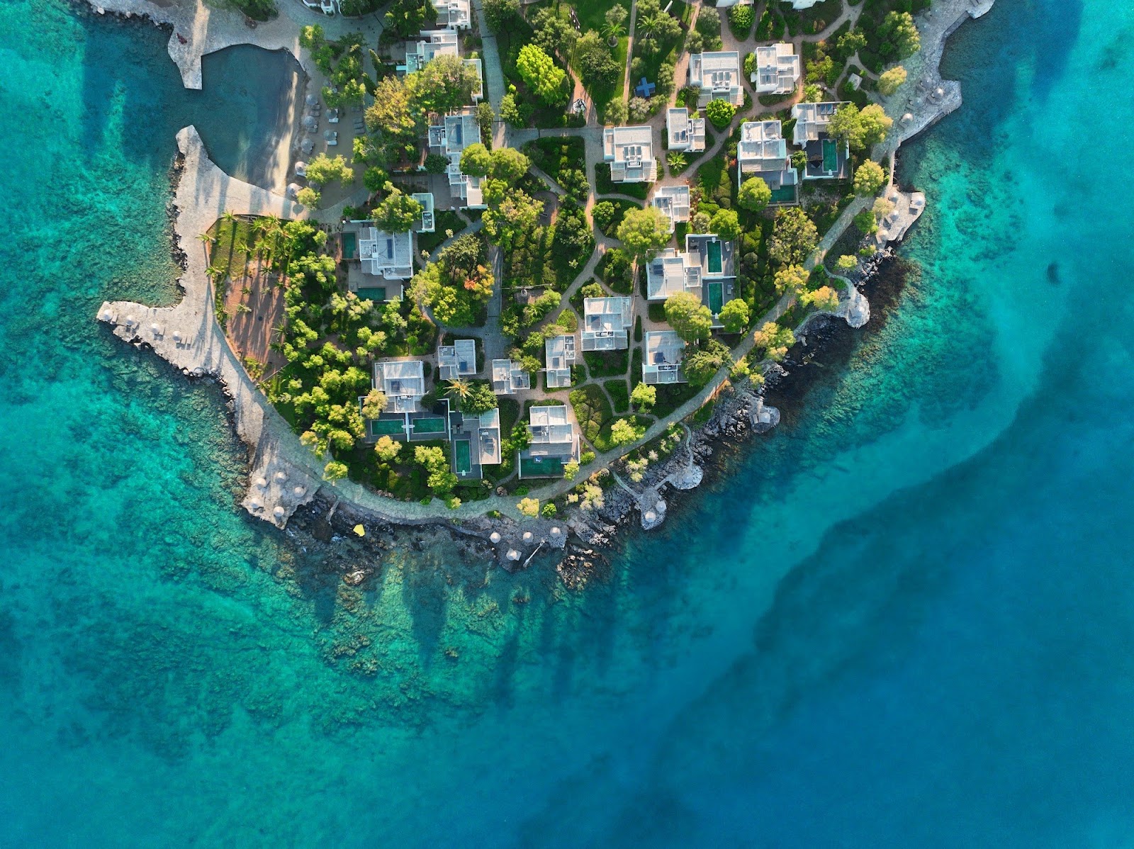
The Douro Valley is one of the oldest demarcated wine regions on Earth, with vineyard terraces carved into schist hillsides bending with the river.
I base people here for two to three nights and let the pace drop. If an itinerary gets tight, this is the region I protect.
Researched profile: this page is written from my planning research and partner knowledge rather than a stay of my own here, and when that changes, this line comes off.

Dublin is where most Ireland trips land, and it deserves a proper stop rather than a night at the airport: Trinity College and the Book of Kells, the Georgian squares, good museums and a lively food and pub scene.
It is the bookend, not the trip. Two nights is right, then the west is where Ireland opens up.
Researched profile: this page is written from my planning research and partner knowledge rather than a stay of my own here, and when that changes, this line comes off.

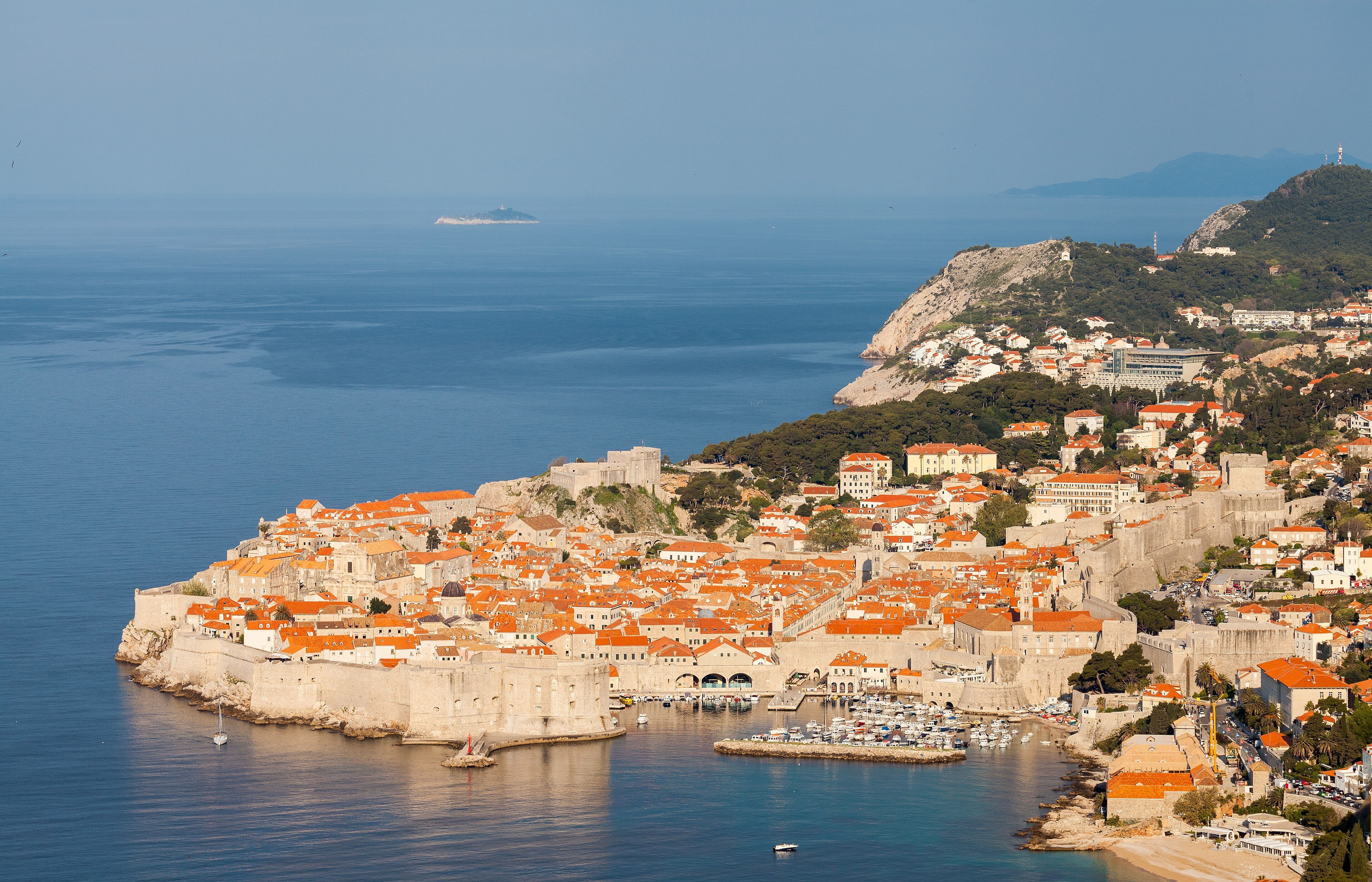
Dubrovnik is the walled old town on Croatia's southern coast, a UNESCO World Heritage Site, with the Elaphiti Islands and Mljet National Park within reach by boat.
I plan it in two halves: the old town early in the morning, before the day crowds, and the islands by boat. Three nights here is my standard opening or closing leg for a Croatia trip.
Researched profile: this page is written from my planning research and partner knowledge rather than a stay of my own here, and when that changes, this line comes off.
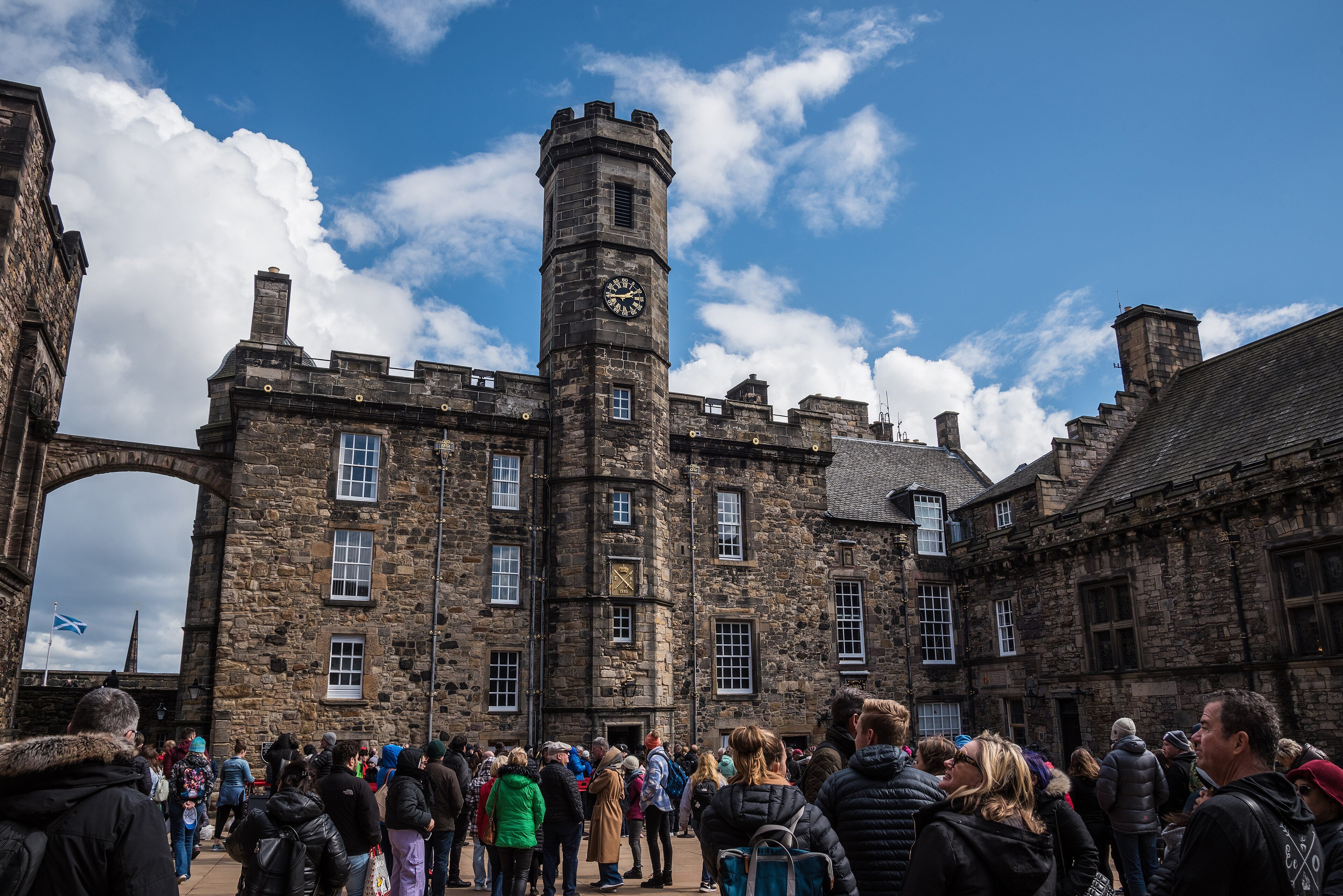
Edinburgh is one of the most handsome cities in Europe: the castle on its volcanic rock, the medieval Old Town running down the Royal Mile, and the Georgian New Town across the gardens below.
It is Scotland's city bookend, and it deserves two nights rather than a pass-through on the way to the Highlands.
Researched profile: this page is written from my planning research and partner knowledge rather than a stay of my own here, and when that changes, this line comes off.
Emilia-Romagna is the region that fed Italy its reputation: Parmigiano-Reggiano, prosciutto di Parma, balsamic vinegar from Modena, tortellini and tagliatelle al ragù from Bologna. It is also the region most visitors drive through on the fast train between Florence and Venice without stopping, which is why it still feels like Italy for Italians.
The trip is simple: base in Bologna for three nights, eat, and day-trip to Parma and Modena with a guide who knows the producers. If someone in the party cares about Ferrari, Maranello is twenty minutes from Modena and the day is made.
Researched profile: this page is written from our planning research and partner knowledge rather than a Wild Atlas stay — when that changes, this line comes off.

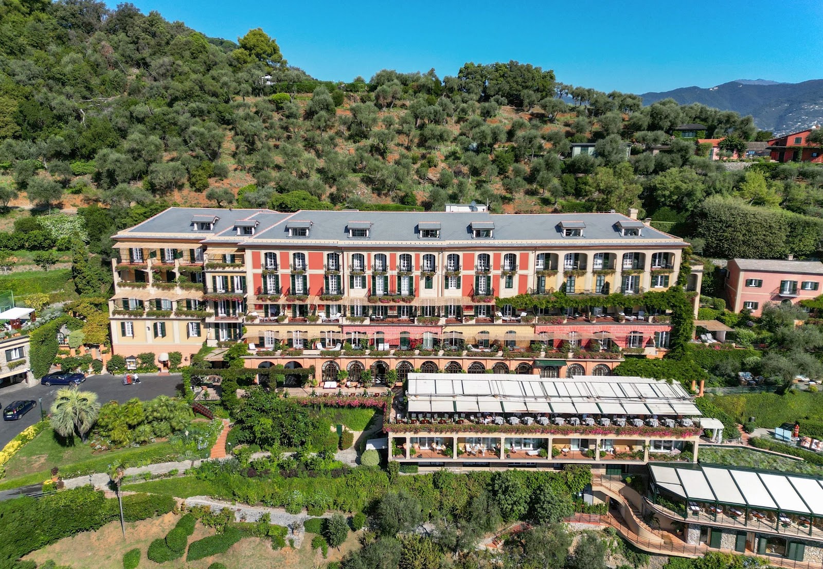
Liguria is the crescent of coast that curves from the French border to Tuscany, and the Italian Riviera is its eastern half: Genoa, the great port city most travelers skip, then the little harbors of Santa Margherita and Portofino, and beyond them the five villages of the Cinque Terre.
The trip we would build puts you in Portofino or Santa Margherita for three nights, gives Genoa the half-day it deserves rather than none, and does the Cinque Terre as a day trip the right way: early, by train and boat, not by car.
Researched profile: this page is written from our planning research and partner knowledge rather than a Wild Atlas stay — when that changes, this line comes off.
Hohe Tauern is the largest national park in Central Europe, around the Grossglockner, Austria's highest mountain.
I plan it as the summer mountain base: the High Alpine Road, the Krimml Waterfalls and the Rauris valley for eagles and vultures, with a car or driver.
Researched profile: this page is written from my planning research and partner knowledge rather than a stay of my own here, and when that changes, this line comes off.

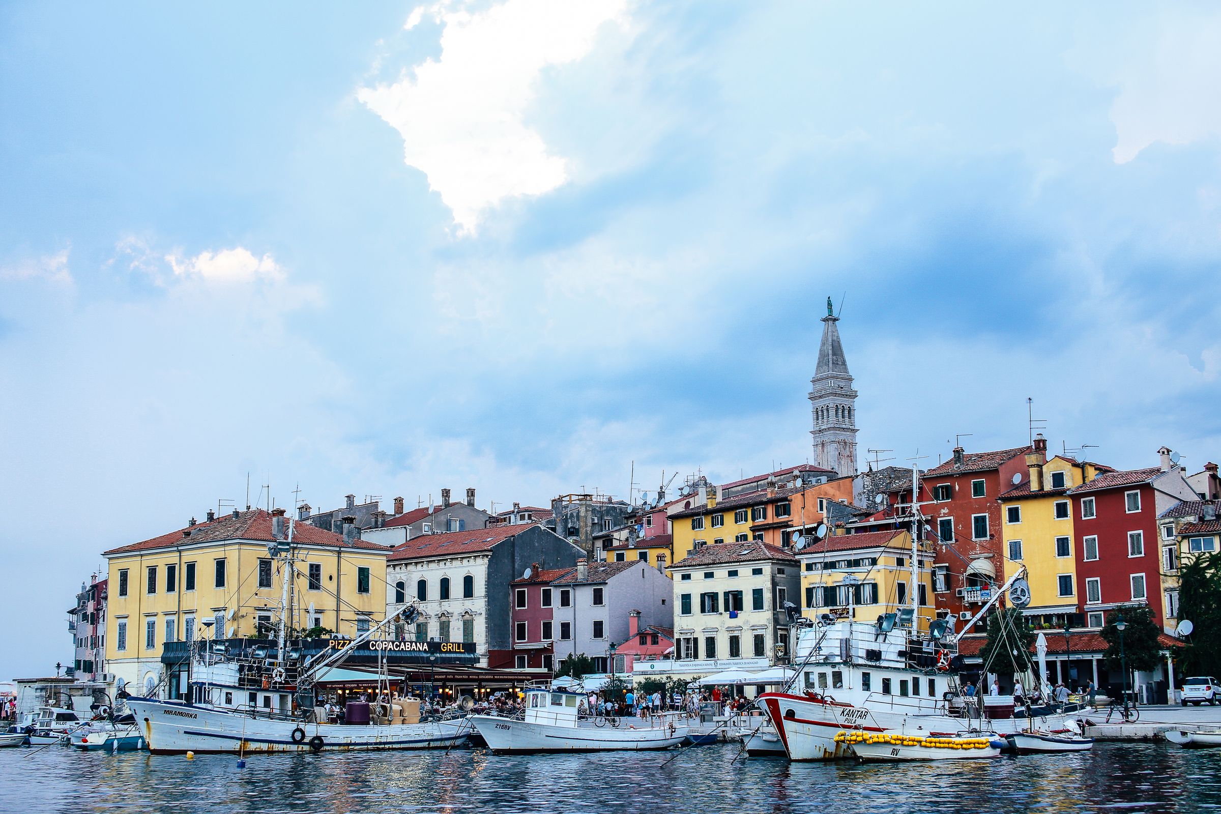
Istria is the slower, inland-facing side of Croatia: Rovinj on the coast and the hill towns of the interior, known for olive oil, wine and truffles.
I plan it around food, and autumn is the eating season. It is half of my favorite quiet Croatia week, paired with Kvarner and Cres.
Researched profile: this page is written from my planning research and partner knowledge rather than a stay of my own here, and when that changes, this line comes off.
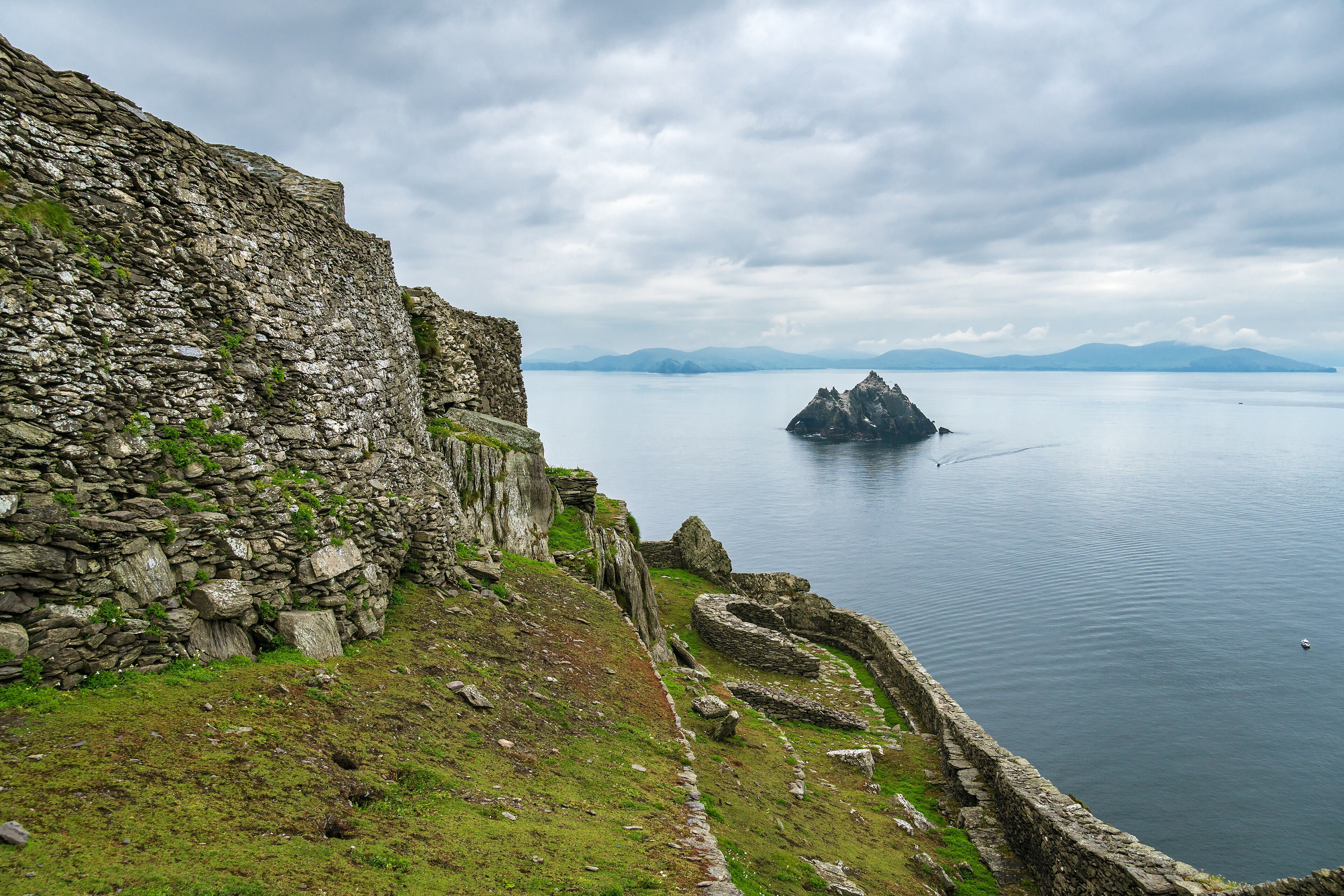
Kerry is the corner of Ireland most people picture: Killarney's lakes and mountains, the Ring of Kerry, the Dingle Peninsula, and Skellig Michael rising out of the Atlantic off the coast.
The decision is the Ring or Dingle. With three nights I pick one peninsula and do it slowly, and I plan the Skellig boat as the headline day with a spare day behind it.
Researched profile: this page is written from my planning research and partner knowledge rather than a stay of my own here, and when that changes, this line comes off.
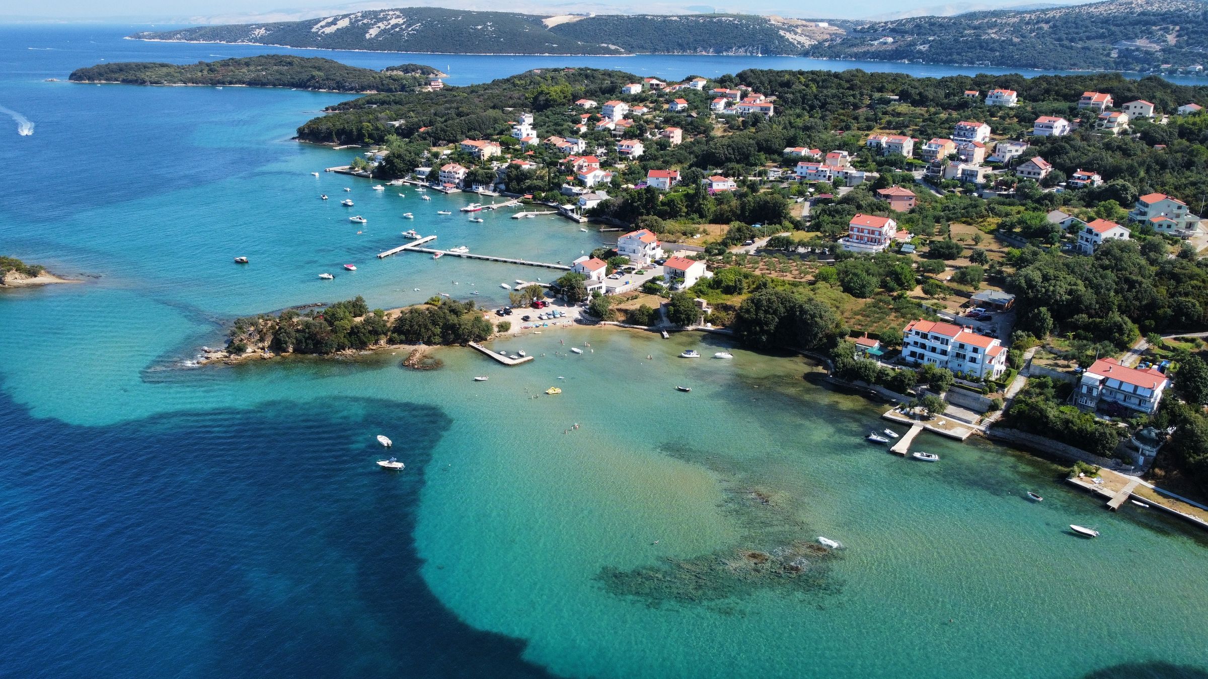
Kvarner and Cres are the quieter islands in Croatia's north, where griffon vultures nest on the sea cliffs.
When July and August make Dubrovnik and Hvar very busy, this is where I send people instead, and it is the other half of the week I pair with Istria.
Researched profile: this page is written from my planning research and partner knowledge rather than a stay of my own here, and when that changes, this line comes off.
Lake Como is the Italian lake: an hour from Milan, lined with villas and gardens, with mountains rising straight from the water and a handful of hotels that are destinations in themselves. Three nights is the minimum to feel the lake rather than photograph it.
Where you stay decides the trip, which is why our Lake Como shortlist is a page of its own. This page is the overview: where the lake is, what you do on it, and when to come.
Researched profile: this page is written from our planning research and partner knowledge rather than a Wild Atlas stay — when that changes, this line comes off.

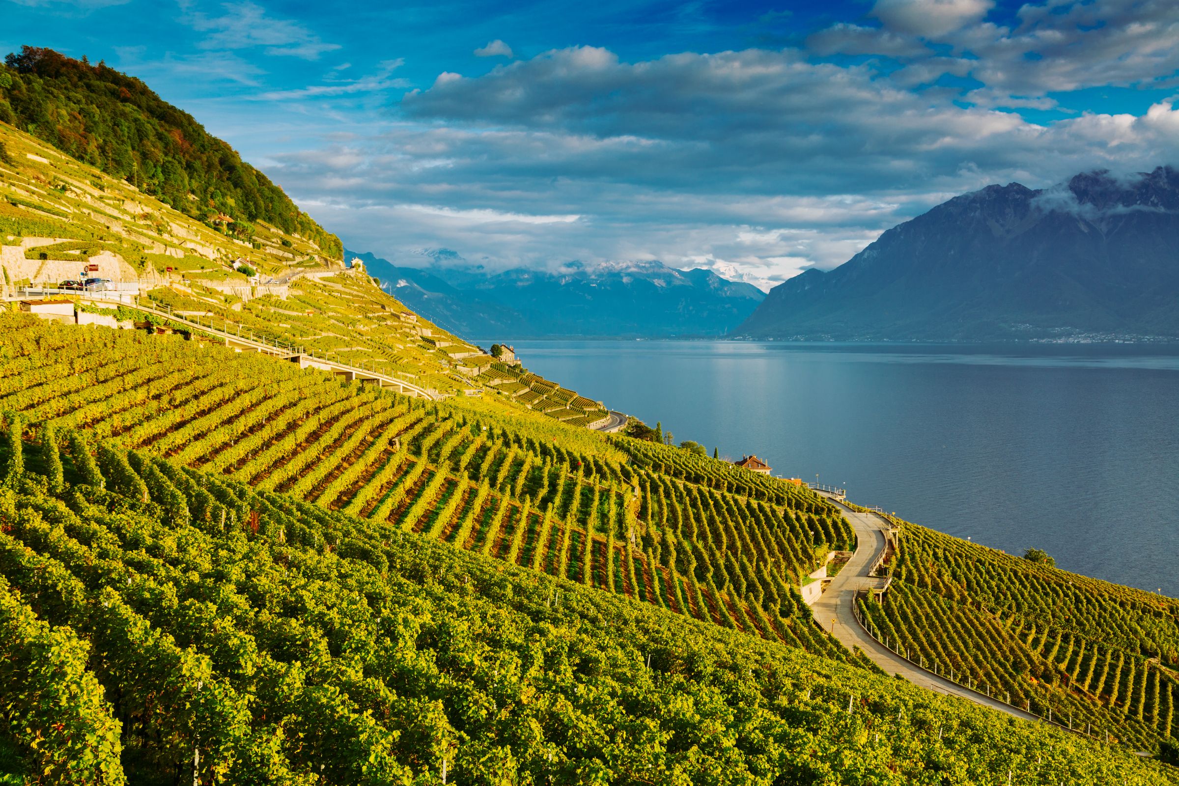
Lake Geneva is Geneva, Lausanne and Montreux along the north shore, with the terraced Lavaux vineyards, a UNESCO World Heritage Site, between them.
I plan it as the lake base on a first Switzerland trip, with Geneva as the place to fly in.
Researched profile: this page is written from my planning research and partner knowledge rather than a stay of my own here, and when that changes, this line comes off.
Lisbon is a neighborhood city, not a checklist city: Alfama under the castle, monumental Belém on the river, and Chiado and Príncipe Real where the city lives now.
I plan two to three nights at the minimum, with Sintra given a full day of its own.
Researched profile: this page is written from my planning research and partner knowledge rather than a stay of my own here, and when that changes, this line comes off.

London is where most UK trips begin and end: the great museums, the theater, the parks, and some of the best restaurants in Europe.
The mistake is trying to see it all. I plan it around one good base, one or two big sights a day, and time in the neighborhoods in between.
Researched profile: this page is written from my planning research and partner knowledge rather than a stay of my own here, and when that changes, this line comes off.
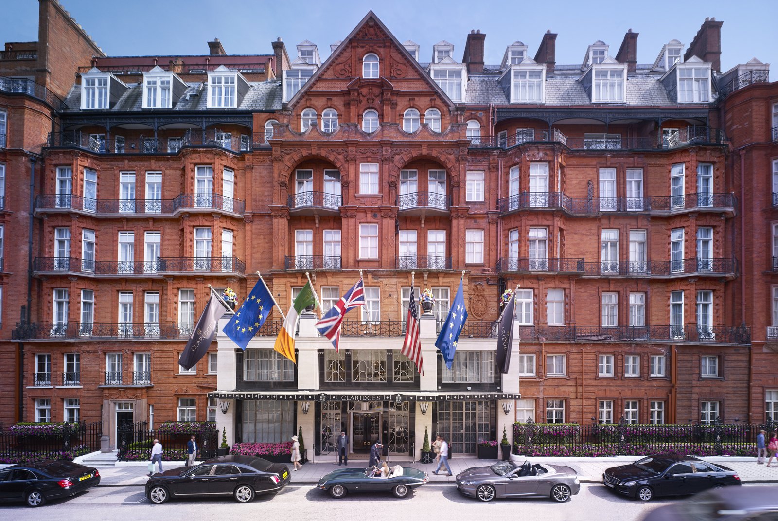
Madeira is a Portuguese island in the Atlantic, closer to Africa than to Lisbon, with a near-year-round spring climate.
It is the one part of Portugal I would happily send you to in January. Treat it as a trip of its own, three nights minimum.
Researched profile: this page is written from my planning research and partner knowledge rather than a stay of my own here, and when that changes, this line comes off.

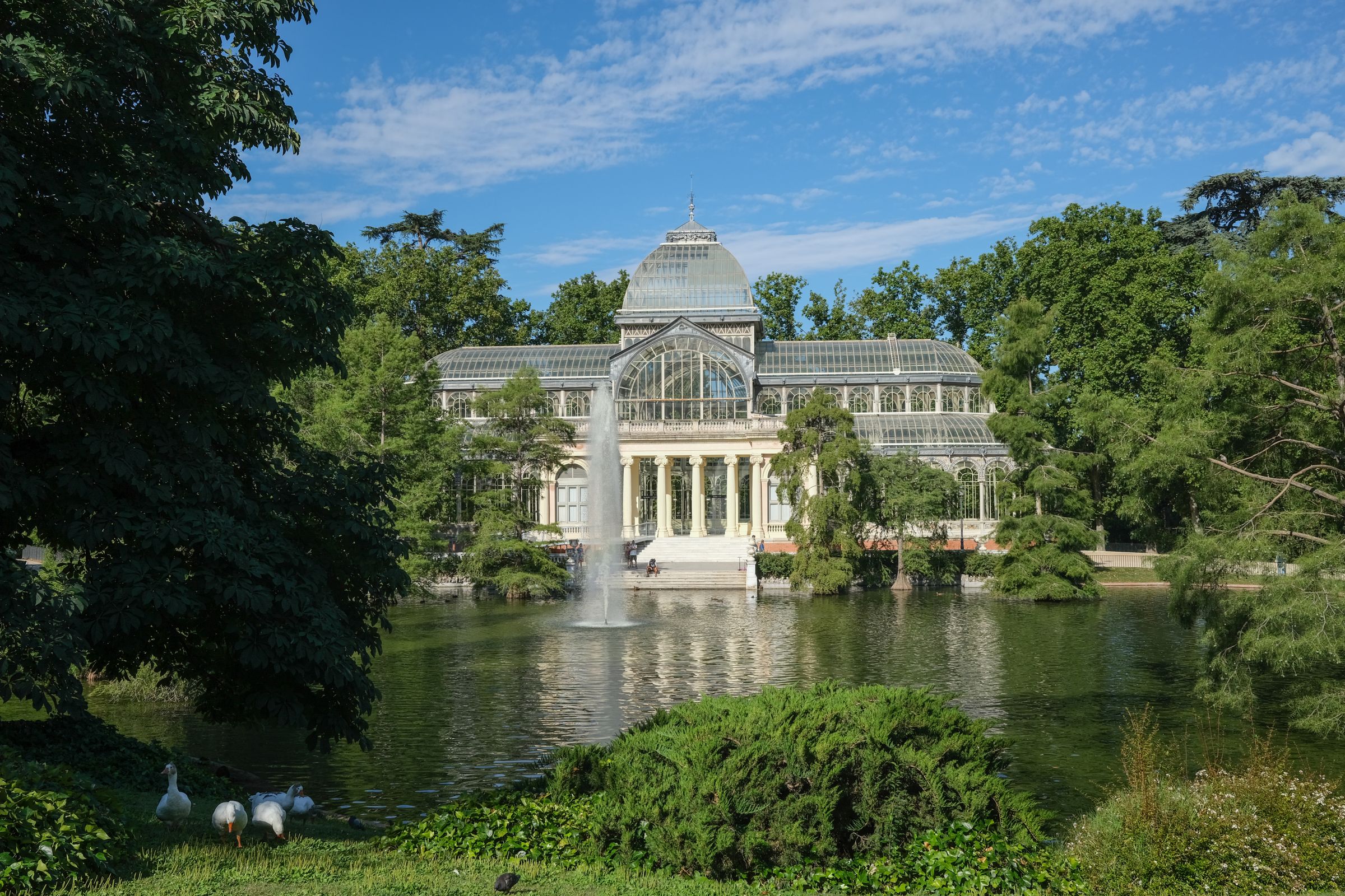
Madrid is the city most Spain trips fly into and too many hurry through. Give it two or three nights and it becomes one of the best stops in Europe: three of the world's great museums within a short walk of each other, a huge park in the middle, and a city that eats dinner at ten.
The trick is pacing. One museum a morning, the afternoons for the Retiro and the old center, and the evenings for the long Madrid dinner.
Researched profile: this page is written from my planning research and partner knowledge rather than a stay of my own here, and when that changes, this line comes off.
Marbella is where a Spain trip slows down. After Seville, Córdoba and Granada, a few days on the Costa del Sol mean swimming, long lunches and nothing on the schedule, with the white villages and Ronda close by when you want them.
The coast needs some honesty: much of it is built up, and Puerto Banús is a marina of yachts and shops, not the point of the trip. Marbella's old town and the right hotel on the Golden Mile are.
Researched profile: this page is written from my planning research and partner knowledge rather than a stay of my own here, and when that changes, this line comes off.

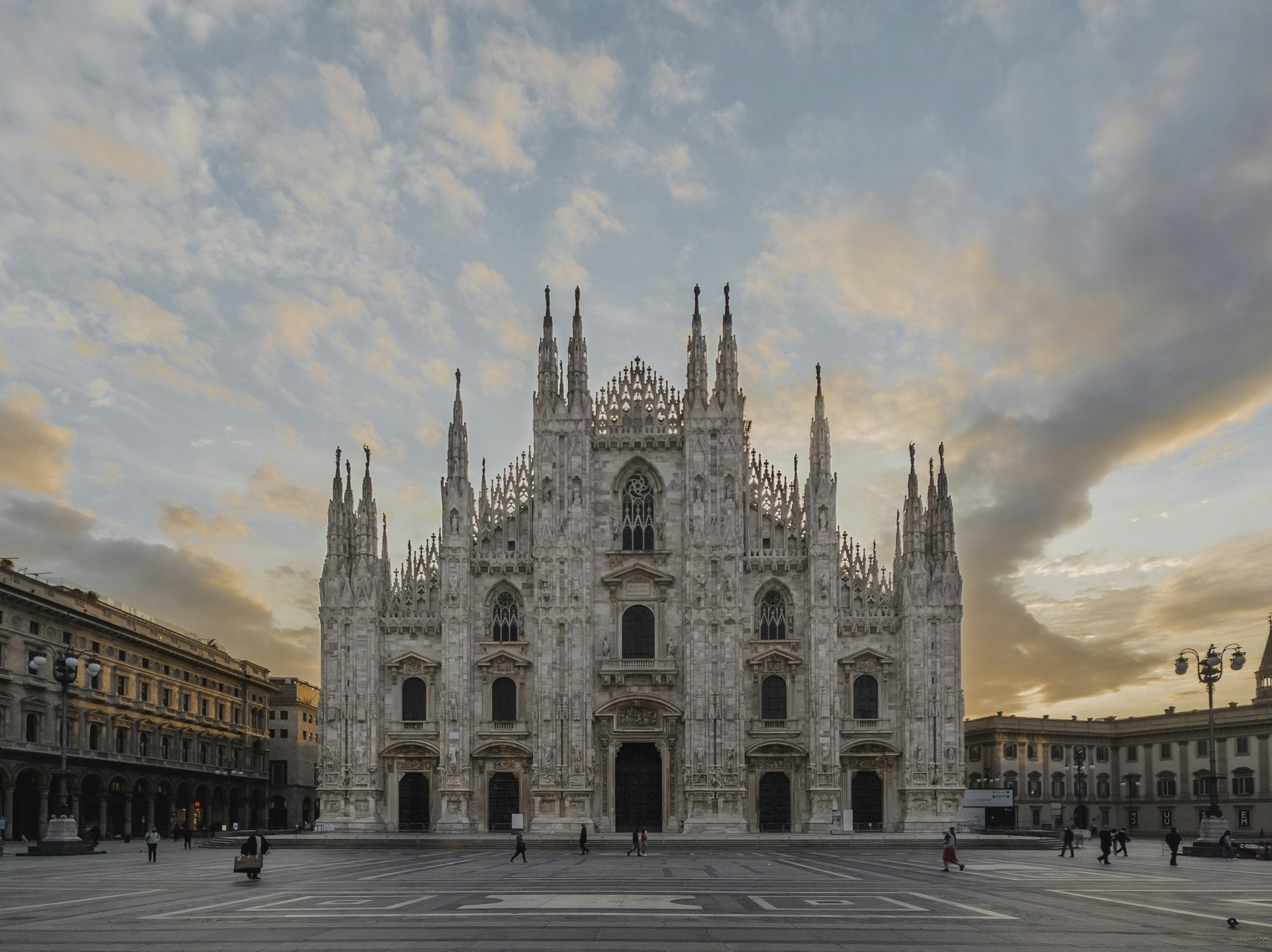
Milan is the Italian city people skip, and the one most northern Italy trips pass through anyway. Treated correctly it is one sharp night or two: the Duomo and its roof, Brera's galleries and lanes, an aperitivo done the way the city invented it, and the shops if that is your thing.
Its real role on a Wild Atlas itinerary is as the gateway. Malpensa has the nonstop flights, and from Milan the lakes, Venice, the Riviera and Florence are all within a few hours by train or car.
Researched profile: this page is written from our planning research and partner knowledge rather than a Wild Atlas stay — when that changes, this line comes off.
Møn is the island of Møns Klint, chalk cliffs up to 128 m high, with a beach below and beech woods above.
Staying up for the stars is the second reason to come: Møn and Nyord are a named Dark Sky Park.
Researched profile: this page is written from my planning research and partner knowledge rather than a stay of my own here, and when that changes, this line comes off.

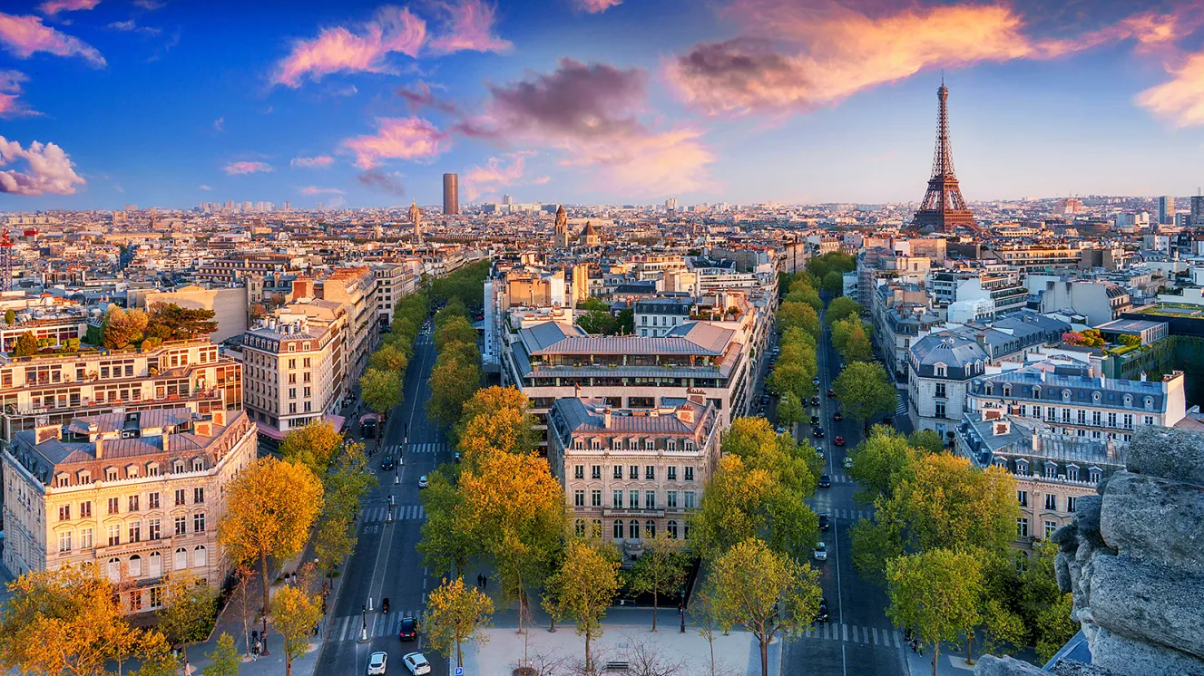
Paris is where most of my France trips begin, and it works best when you treat it as a set of neighborhoods rather than a list of monuments. Three or four nights gives you one great museum each morning, the gardens and the walks in between, and dinners worth planning the day around.
The decision that shapes the stay is where you sleep. The Faubourg Saint-Honoré and the golden triangle are grand and quiet at night; the Marais and Saint-Germain put you in the streets where Paris actually lives.
Researched profile: this page is written from my planning research and partner knowledge rather than a stay of my own here, and when that changes, this line comes off.
Plitvice Lakes is a national park of terraced lakes and waterfalls, a UNESCO World Heritage Site since 1979.
I plan it early in the morning and treat it as an inland leg of a coast trip, not a detour. For an easier waterfall stop between Split and Zadar, Krka National Park is the alternative.
Researched profile: this page is written from my planning research and partner knowledge rather than a stay of my own here, and when that changes, this line comes off.

Porto is Lisbon's older, moodier sibling: the Ribeira old town stacked above the Douro, and the port lodges across the bridge in Vila Nova de Gaia.
I plan one to two nights here, usually at the end of the trip, flying home from Porto so it never backtracks.
Researched profile: this page is written from my planning research and partner knowledge rather than a stay of my own here, and when that changes, this line comes off.

Provence is the slow middle of a France trip: morning markets, hill villages, Roman towns, a wine tasting in the afternoon and dinner outside. It suits a single base and a week of short drives better than a tour.
The first decision is where to sleep. Avignon puts you inside a walled city with restaurants on the doorstep; a countryside house in the Luberon or the Alpilles gives you the Provence of the postcards, with a driver doing the work.
Researched profile: this page is written from my planning research and partner knowledge rather than a stay of my own here, and when that changes, this line comes off.

Puglia is the heel of the boot, and the argument for it is simple: it is the Italy of white towns, olive groves and long empty coast that the rest of the country used to be, at prices that still make sense. The stay format is the masseria, a fortified farmhouse turned hotel, and the food is the simplest and some of the best in Italy.
It is best as its own trip of five to seven nights, or as the southern half of a two-centre trip with Matera, the cave city just over the border in Basilicata, as the add-on.
Researched profile: this page is written from our planning research and partner knowledge rather than a Wild Atlas stay — when that changes, this line comes off.
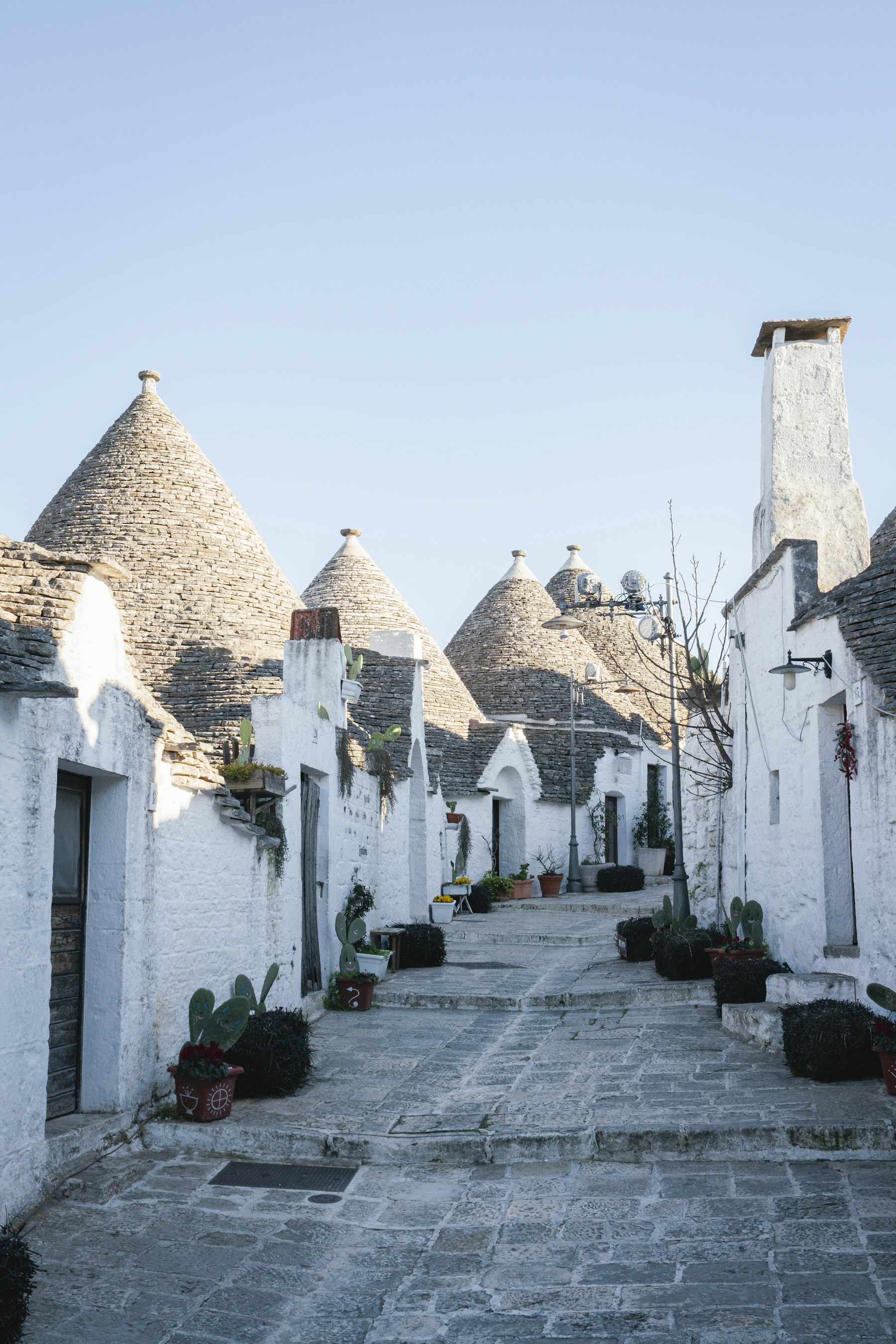
Rome is where most Italy trips begin or end, and it deserves to be treated as a destination rather than an airport. Two to three nights covers the ancient core, one great museum morning and two evenings in the neighborhoods, and it does so without the forced march that ruins the city for first-timers.
The trick is to plan Rome by district rather than by monument: the ancient city in one morning, the Vatican in another, and the rest of the time in the streets around the Pantheon, Piazza Navona and across the river in Trastevere, where the evenings happen.
Researched profile: this page is written from our planning research and partner knowledge; the Wild Atlas stay on record here is The St. Regis Rome.
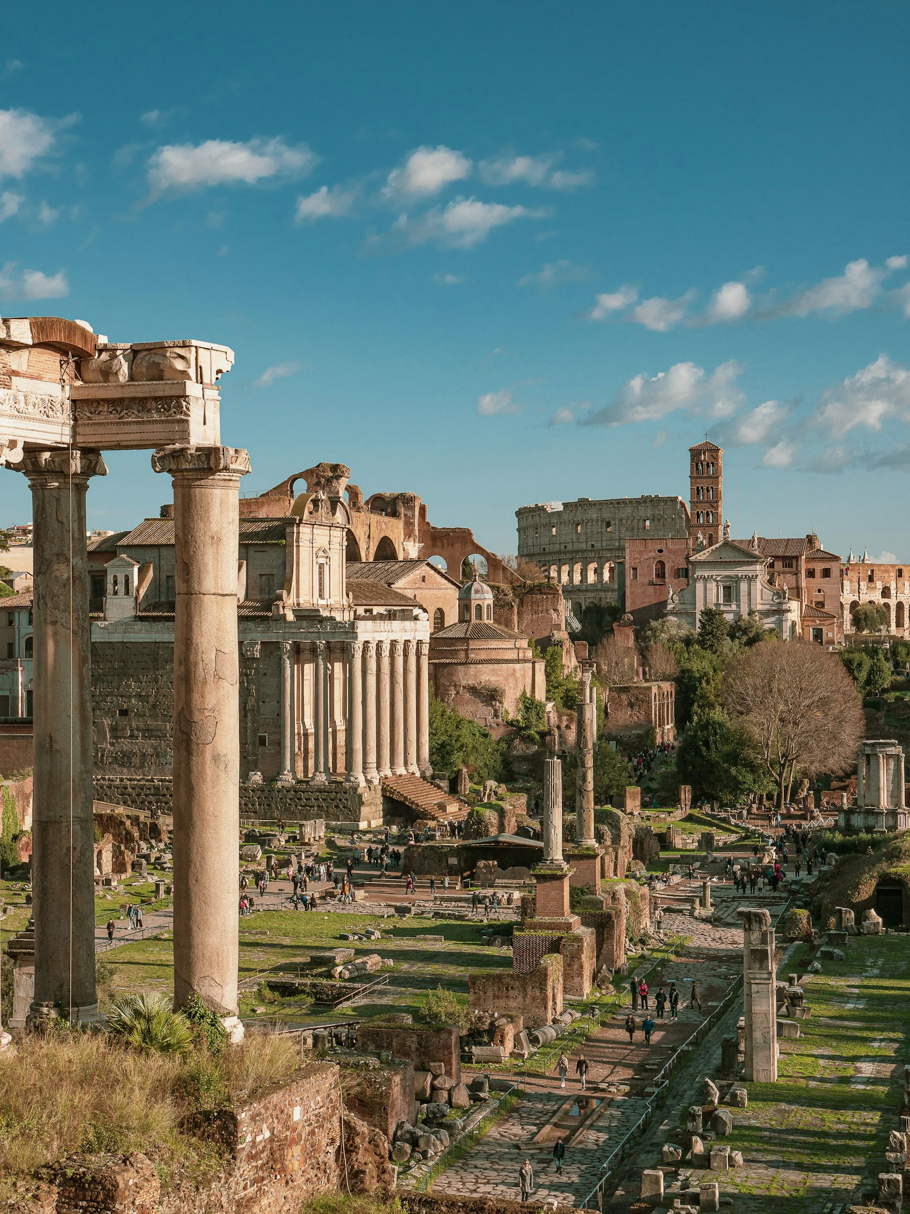
Salzburg is Mozart's birthplace, a compact baroque old town under the fortress, with the Salzburg Festival every summer.
I plan two nights here, reached by train from Vienna, and if the trip falls in summer, the Festival dates decide it.
Researched profile: this page is written from my planning research and partner knowledge rather than a stay of my own here, and when that changes, this line comes off.

San Sebastián is the reason many people who love food go to Spain. The old town is packed with pintxos bars, and in and around the city are some of the most acclaimed restaurants in Europe, all on a curved bay with a beach in the middle of town.
It is also a different Spain: green, cooler and wetter than the south. The honest note is that it is its own trip or a northern extension, not a casual add-on to Andalucía, which is a long way away.
Researched profile: this page is written from my planning research and partner knowledge rather than a stay of my own here, and when that changes, this line comes off.

Sicily is too big and too layered for one hotel: Greek temples, Norman palaces, Baroque towns and an active volcano, wrapped around some of Italy's best coast. The mistake is to treat it as a beach add-on. The right play is two bases, the Taormina east coast and one contrasting second act, over a week or more.
Our Sicily shortlist is the where-to-stay page; this one is the overview of the island, what to do and when to come.
Researched profile: this page is written from our planning research and partner knowledge rather than a Wild Atlas stay — when that changes, this line comes off.
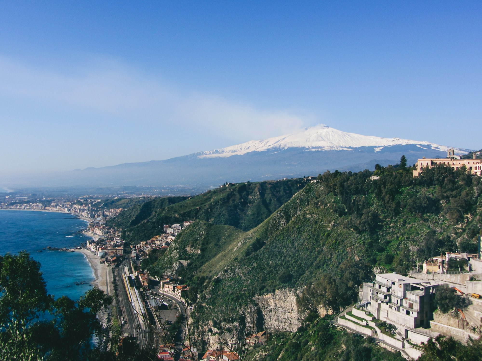
Skagen is the northern tip of Jutland: dunes, beaches and the light that drew the Skagen painters.
Walk out to Grenen, where the Skagerrak meets the Kattegat.
Researched profile: this page is written from my planning research and partner knowledge rather than a stay of my own here, and when that changes, this line comes off.

Somerset, Bath and the Cotswolds are the English countryside most people come for: gardens, honey-colored villages, Georgian Bath and long country walks, all within a couple of hours of London.
It works best as the slow middle of a trip, not a day trip from London. I plan it around a country house stay and short drives out from there.
Researched profile: this page is written from my planning research and partner knowledge rather than a stay of my own here, and when that changes, this line comes off.
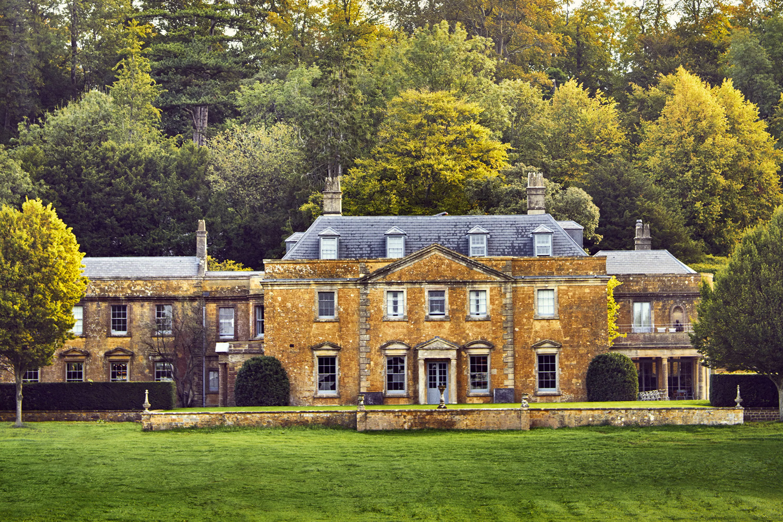
Split is built inside and around a Roman emperor's palace, and it is the port for the central Dalmatian islands: Hvar, Brač and Vis.
I give Split one or two nights and the islands most of the time, with three or four nights on Hvar and a private boat day to see the rest.
Researched profile: this page is written from my planning research and partner knowledge rather than a stay of my own here, and when that changes, this line comes off.
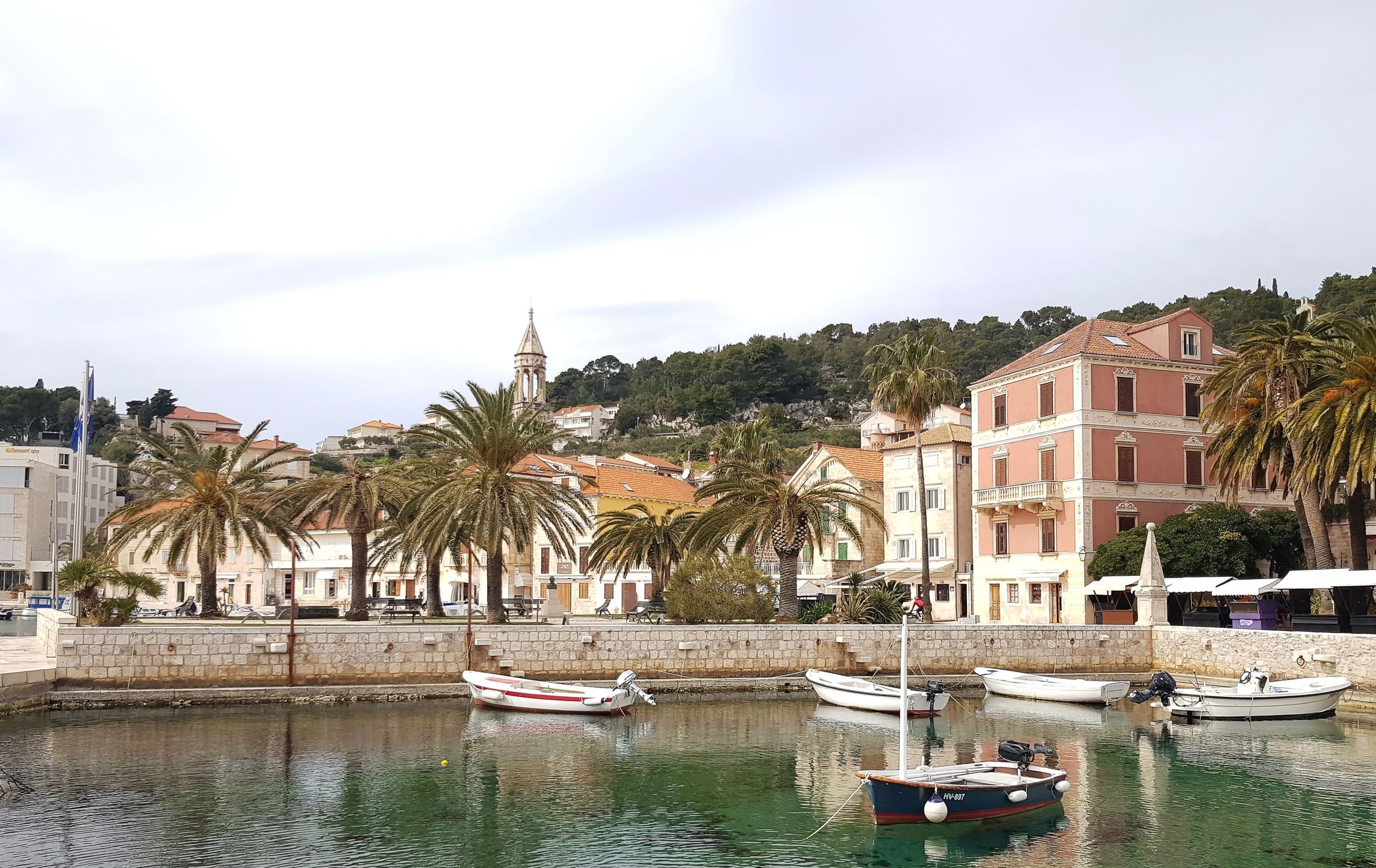
St. Moritz and the Engadin are a high, sunny valley in Graubünden, with lakes, larch forests and the Swiss National Park a short drive away.
I plan it as one of the two mountain bases on a Switzerland trip: skiing in winter, walking and early-morning wildlife in summer, with Badrutt's Palace as the base.
Researched profile: this page is written from my planning research and partner knowledge rather than a stay of my own here, and when that changes, this line comes off.
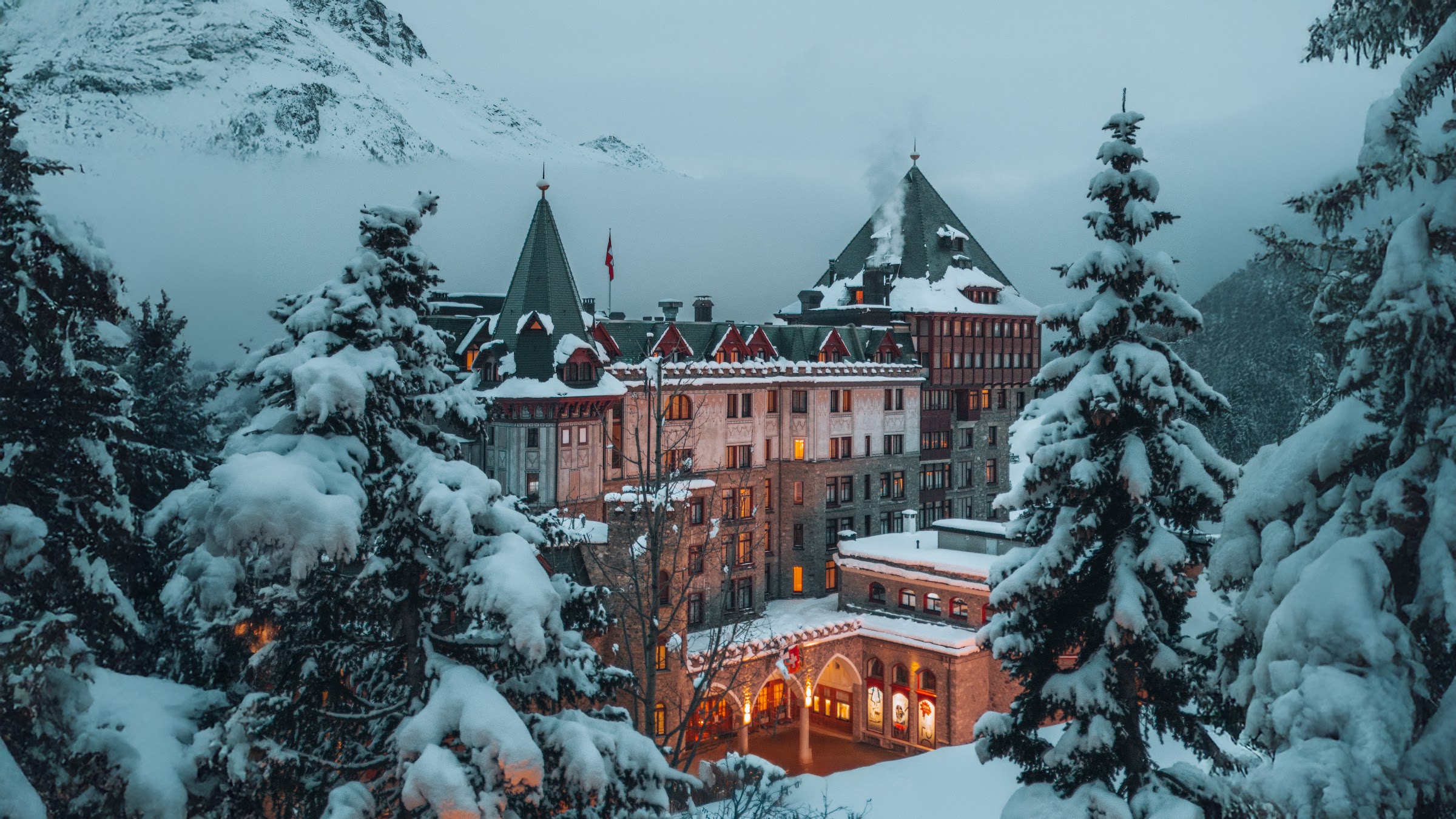
The Alentejo is the big, quiet third of Portugal that most itineraries skip: cork-oak plains, whitewashed villages, olive groves and Évora.
It is my pick for a second trip to Portugal, or a first one when quiet is the whole point.
Researched profile: this page is written from my planning research and partner knowledge rather than a stay of my own here, and when that changes, this line comes off.

The Algarve is one name for two coasts: the wild west around Sagres and the slower east toward Tavira, with the resort strip in the middle to steer around.
I add it as the exhale at the end of a trip, three nights after Lisbon and the Douro, when the trip reaches ten days.
Researched profile: this page is written from my planning research and partner knowledge rather than a stay of my own here, and when that changes, this line comes off.
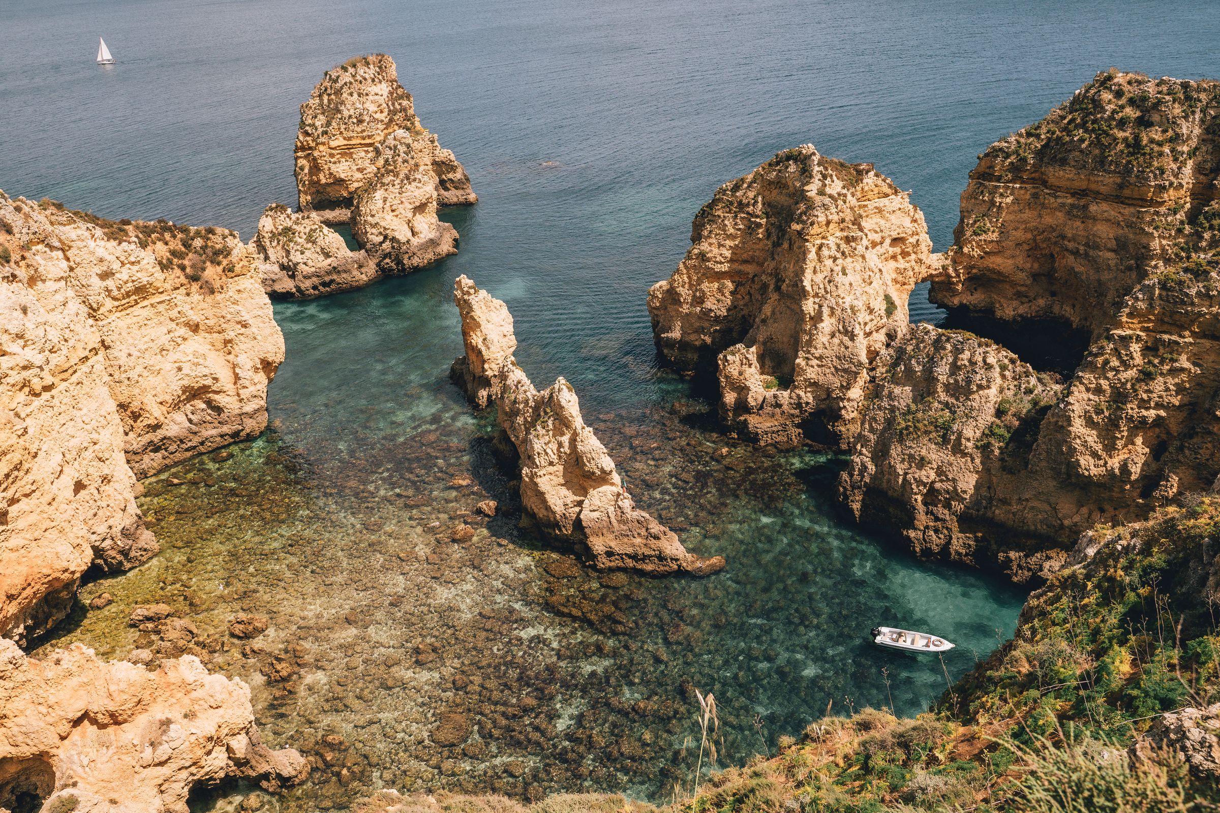
The Arlberg is Lech and St. Anton, two of the best-known ski villages in the Alps.
I plan it as Austria's serious-skiing region, with Almhof Schneider in Lech as the base.
Researched profile: this page is written from my planning research and partner knowledge rather than a stay of my own here, and when that changes, this line comes off.

The Bernese Oberland is Interlaken, Wengen, Mürren and the Jungfrau region: the classic Alpine scenery of cog railways, waterfalls and cliffs.
Of Switzerland's three mountain bases, it is the easiest to reach, with skiing in winter and walking in summer.
Researched profile: this page is written from my planning research and partner knowledge rather than a stay of my own here, and when that changes, this line comes off.
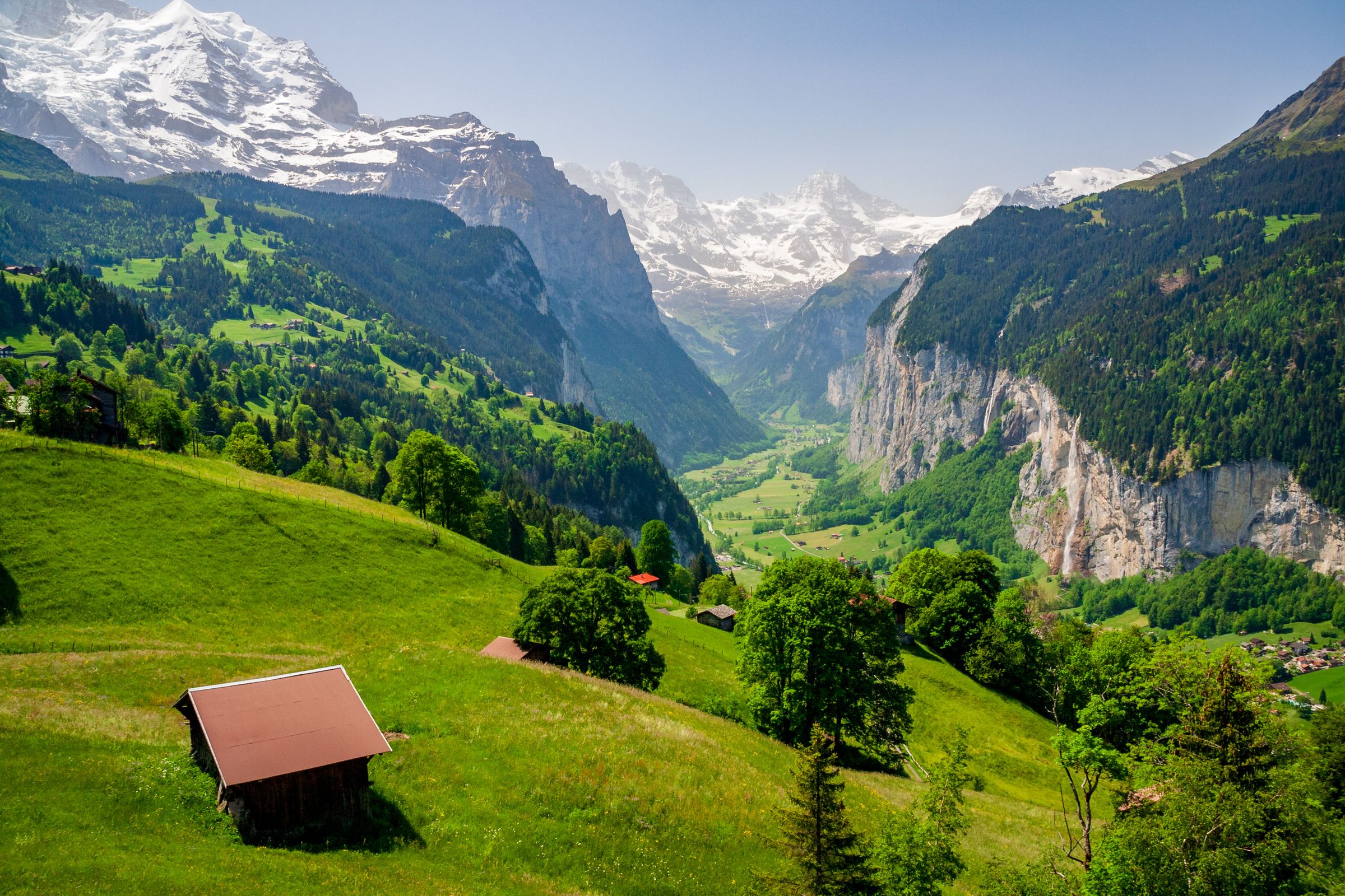
The Côte d'Azur is the stretch of coast from Cannes to Monaco, and the best way to do it is from one base: swimming in the morning, a long lunch, and an afternoon in the hill villages or the art museums that the painters left behind.
The choice is Nice, the real city with the old town and the airport on its doorstep, or Cap d'Antibes for the resort stay among pine gardens. For most trips I pick the Cape.
Researched profile: this page is written from my planning research and partner knowledge rather than a stay of my own here, and when that changes, this line comes off.

The Cyclades are the Greek islands most people picture: white villages, blue domes and the Santorini caldera. Santorini is beautiful and it is busy; Paros, Kéa and the western islands give you the same light with far fewer people.
The rule I plan by: two islands done well beat four done breathlessly. The ferries decide the order, so I fix the route before the hotels.
Researched profile: this page is written from my planning research and partner knowledge rather than a stay of my own here, and when that changes, this line comes off.
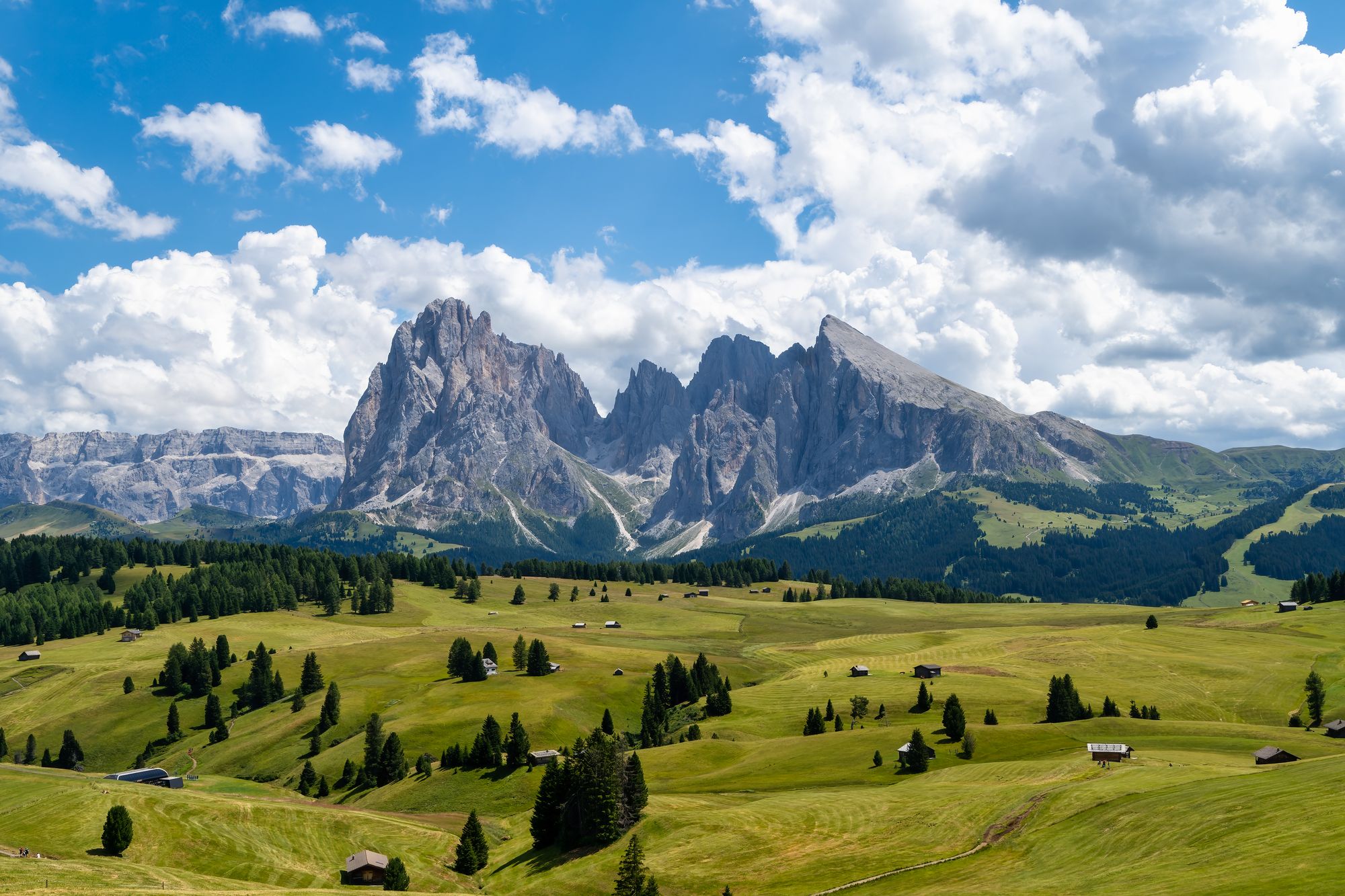
The Dolomites are the pale limestone mountains of north-east Italy, UNESCO-listed for their scenery and run on two seasons: skiing from December to early April on the Dolomiti Superski circuit, and hiking from mid-June to late September when the mountain huts are open. The culture is South Tyrolean, German-speaking as much as Italian, and the food and the hotels reflect it.
Which valley you choose decides which version of the mountains you get, which is why our Dolomites shortlist is organised by trip type. This page is the overview.
Researched profile: this page is written from our planning research and partner knowledge rather than a Wild Atlas stay — when that changes, this line comes off.
The French Alps are France's summer mountain leg: Chamonix under Mont Blanc for the big views and the cable cars, and the Vanoise National Park for quieter walking and the best chance of seeing ibex. Both sit an easy drive from Geneva and pair well with Paris or Provence.
For winter skiing in Courchevel and the other big resorts, my Alps page covers the hotels; this page is about the mountains in summer.
Researched profile: this page is written from my planning research and partner knowledge rather than a stay of my own here, and when that changes, this line comes off.

The Northern Sporades are the green Greek islands: pine forest running down to the beaches, quiet harbors and clear water, off the mainland north of Athens. Skiathos, Skopelos and Alonissos are close together, and the marine park around Alonissos protects the Mediterranean monk seal.
I suggest them to people who want swimming, boats and quiet more than white villages and nightlife, as the calmer alternative to the Cyclades.
Researched profile: this page is written from my planning research and partner knowledge rather than a stay of my own here, and when that changes, this line comes off.

The Peloponnese is the Greece most island itineraries skip, and it is a short drive from Athens. On its eastern side, the Argolid holds the theater at Epidaurus, the citadel of Mycenae and the old capital at Nafplio, with the car-free islands of Hydra and Spetses just offshore.
I plan it as one base on the coast near Porto Heli, with the ancient sites by car in the mornings and the islands by boat.
Researched profile: this page is written from my planning research and partner knowledge rather than a stay of my own here, and when that changes, this line comes off.

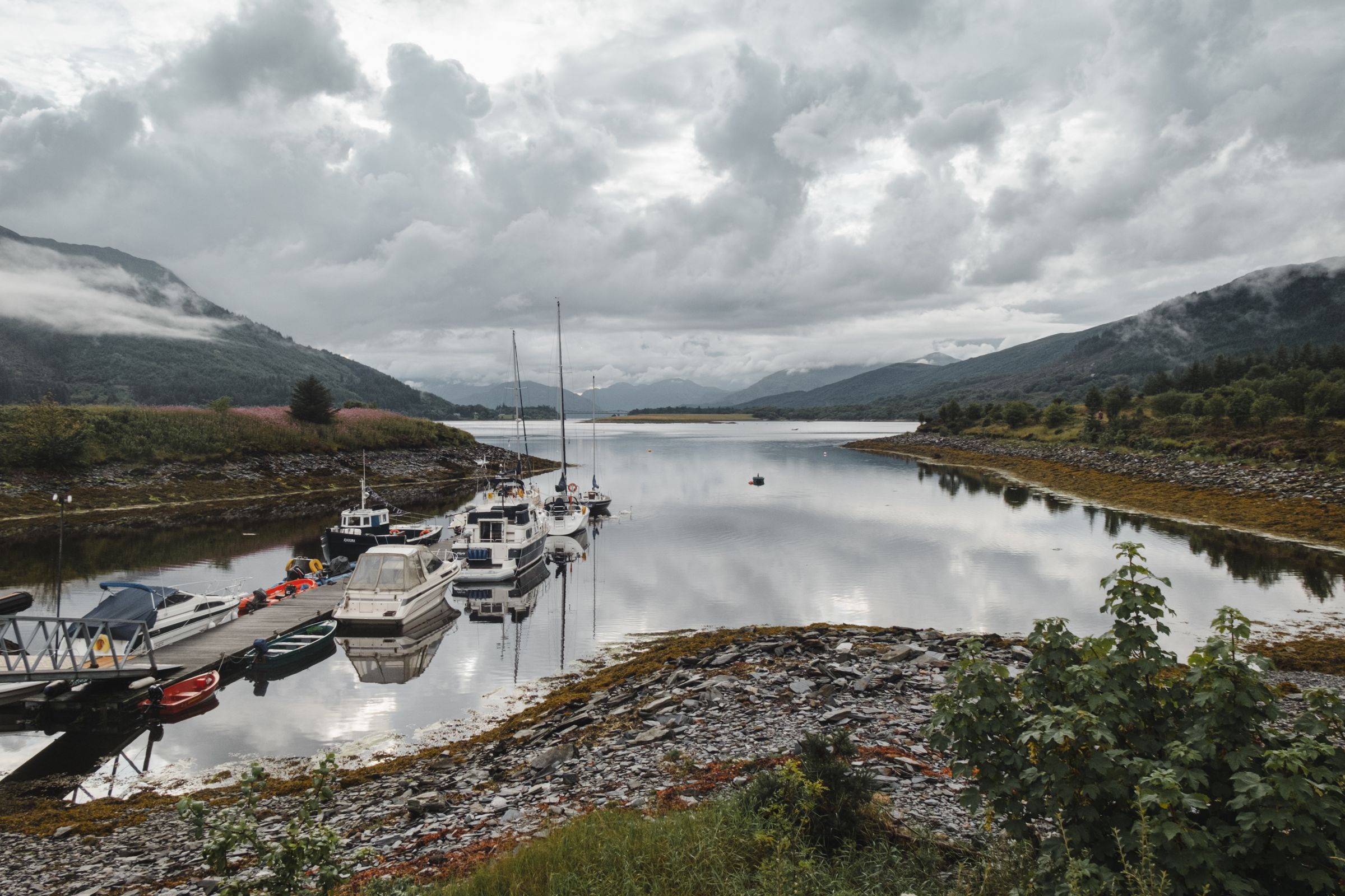
The Scottish Highlands are mountains, sea lochs, glens and islands, and the wildlife that goes with them: red deer, ospreys, red squirrels and dolphins.
This is route-based touring, and the distances are longer than the map suggests. I plan two or three bases rather than a new hotel every night, and I keep the driving days short.
Researched profile: this page is written from my planning research and partner knowledge rather than a stay of my own here, and when that changes, this line comes off.
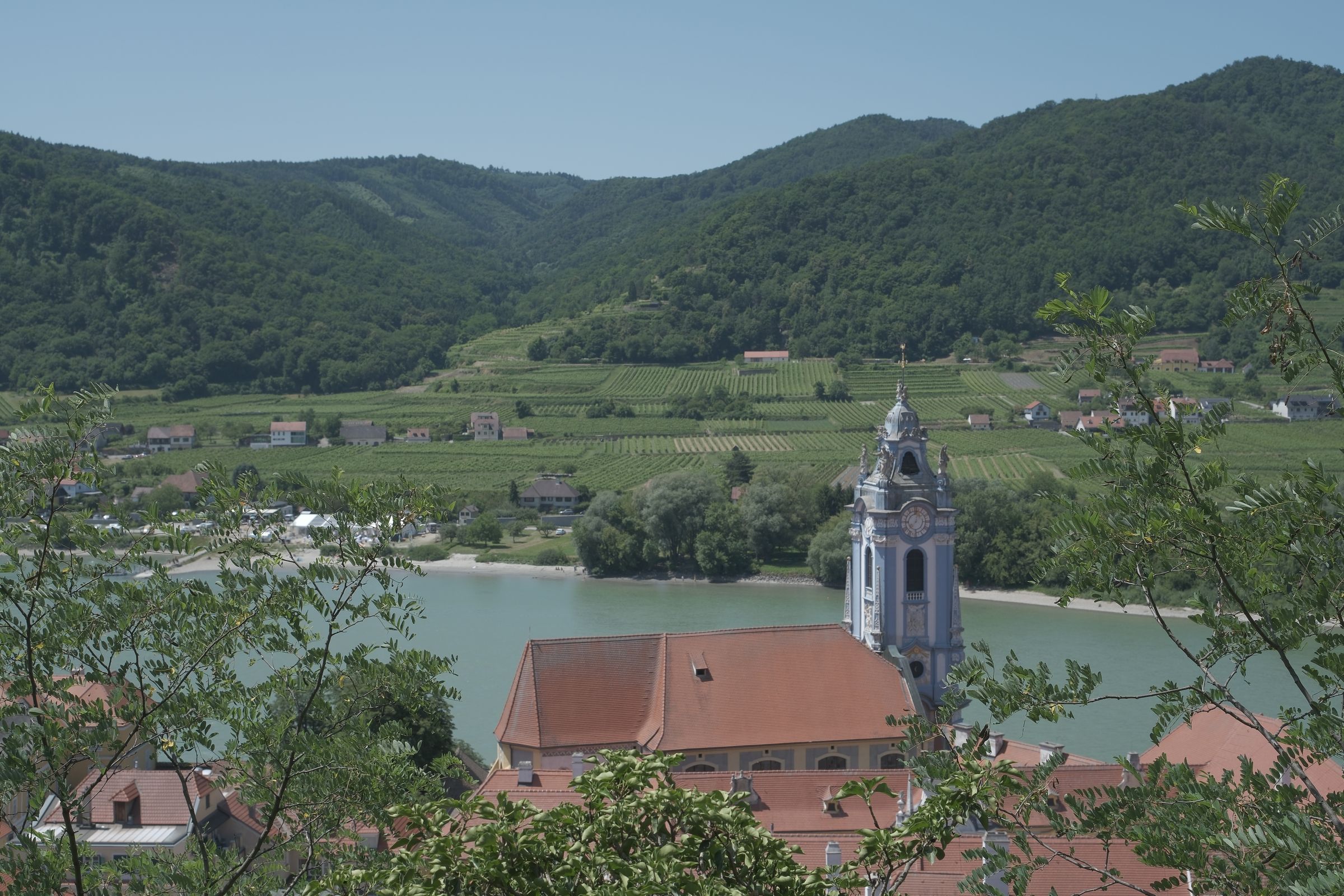
The Wachau is a stretch of the Danube west of Vienna, lined with vineyards, apricot orchards and abbeys, and a UNESCO World Heritage Site.
I plan a night or two here between Vienna and Salzburg, cycling or driving between wineries with a boat on the river.
Researched profile: this page is written from my planning research and partner knowledge rather than a stay of my own here, and when that changes, this line comes off.
The Wadden Sea is a national park and UNESCO World Heritage Site in southwest Jutland: tidal flats, seals, and at dusk in autumn, the Black Sun.
Late September and early October are the reason to build a Denmark trip around this leg.
Researched profile: this page is written from my planning research and partner knowledge rather than a stay of my own here, and when that changes, this line comes off.

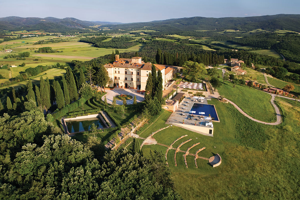
Tuscany is Florence and Siena, the hill towns, and the countryside between them: cypress roads, vineyards and the estates that are the reason to stay. It is not a hotel market so much as an estate market, and the right stay is a working farm, a wine estate or a restored borgo that becomes the destination.
Four to five nights at one estate beats two-and-two splits. Our Tuscany shortlist is the where-to-stay page; this one is the overview of where to go and when.
Researched profile: this page is written from our planning research and partner knowledge rather than a Wild Atlas stay — when that changes, this line comes off.
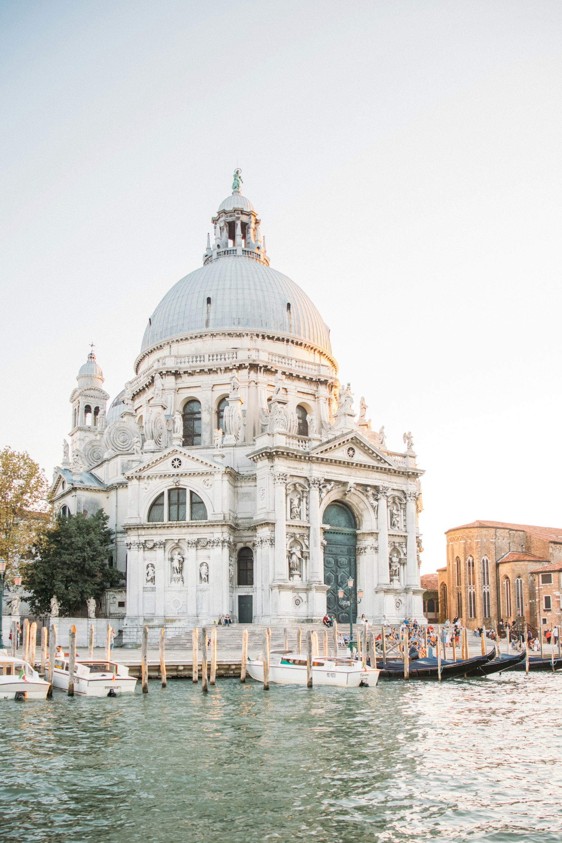
Venice is the one city in Italy where the hotel decision is also the trip decision. Stay on the islands and you get the city at dawn and after the day-trippers leave, which is when it is Venice; stay on the mainland to save money and you get the queue for the water bus and a city that is always full.
Two to three nights in Venice is the right dose, with a day for the lagoon islands. The Veneto around it — Verona, the Palladian villas, the Prosecco hills — pairs naturally, and the Dolomites are three hours north.
Researched profile: this page is written from our planning research and partner knowledge; the Wild Atlas stay on record here is The St. Regis Venice.
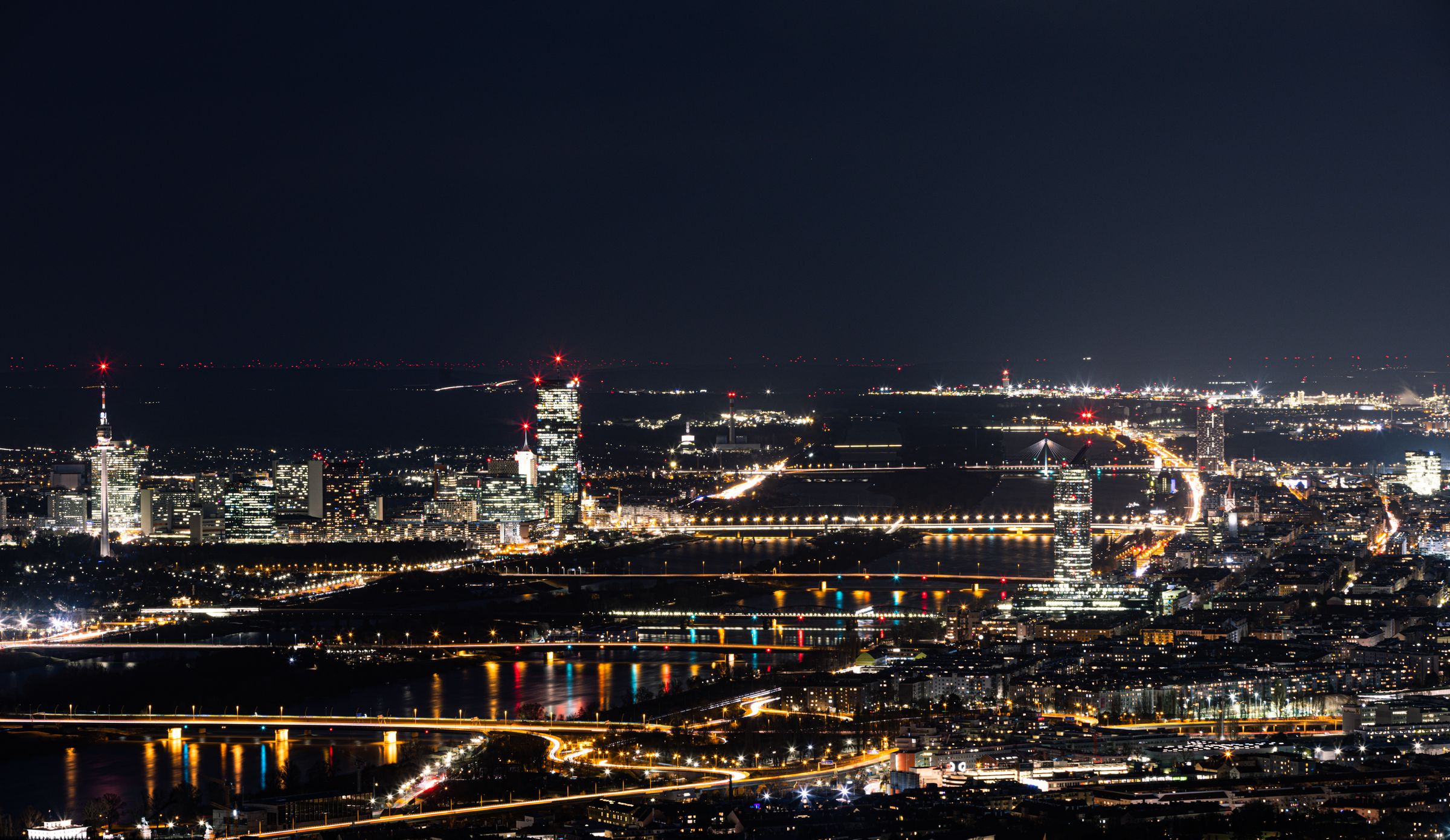
Vienna is the Habsburg capital: the Ringstrasse, the great museums, the State Opera, Schönbrunn Palace and the coffee houses.
I plan it around concerts and museums, with time left for long lunches. Three or four nights here is the anchor of an Austria trip.
Researched profile: this page is written from my planning research and partner knowledge rather than a stay of my own here, and when that changes, this line comes off.
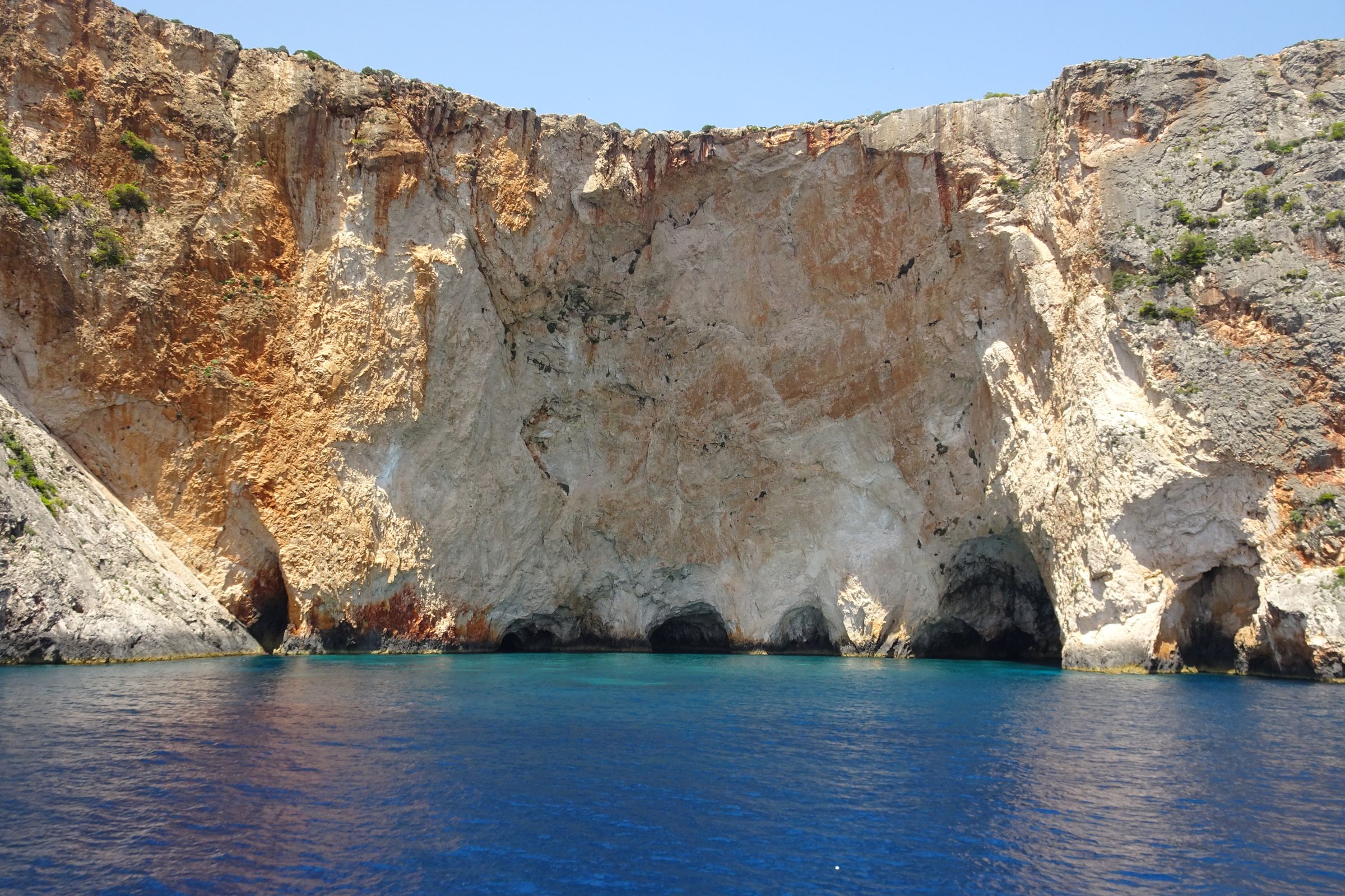
Zakynthos is the Ionian outlier on the Greece list, on the west side of the country. Its south coast is the largest loggerhead turtle nesting ground in the Mediterranean, protected as a national marine park, and its west coast is high limestone cliffs over very blue water.
It is a boat-days island, and it is honest to say it is a separate trip from the Aegean: it pairs with Athens and the islands by flight, not ferry.
Researched profile: this page is written from my planning research and partner knowledge rather than a stay of my own here, and when that changes, this line comes off.
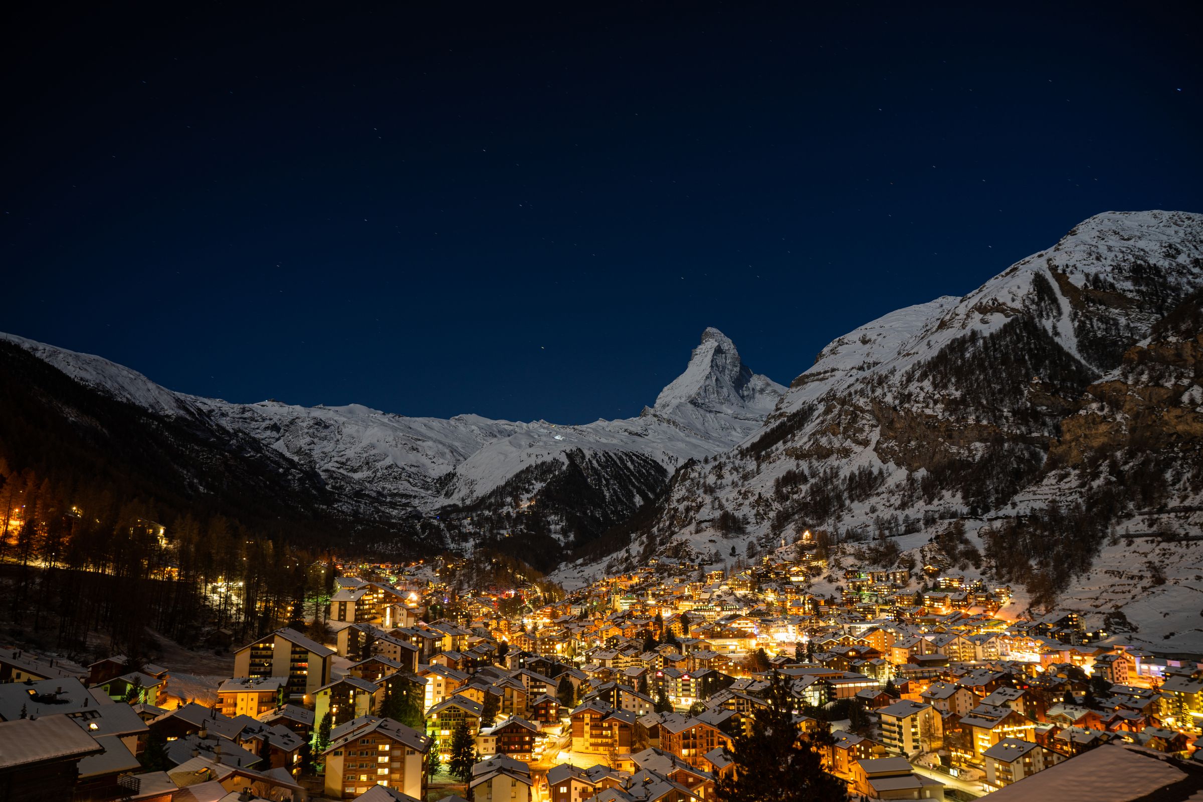
Zermatt is a car-free village at the head of the Mattertal, under the Matterhorn, with skiing on the glacier all year and high-level walks in summer.
I plan it as a mountain base on a Switzerland trip, ideally arriving on the Glacier Express from St. Moritz.
Researched profile: this page is written from my planning research and partner knowledge rather than a stay of my own here, and when that changes, this line comes off.
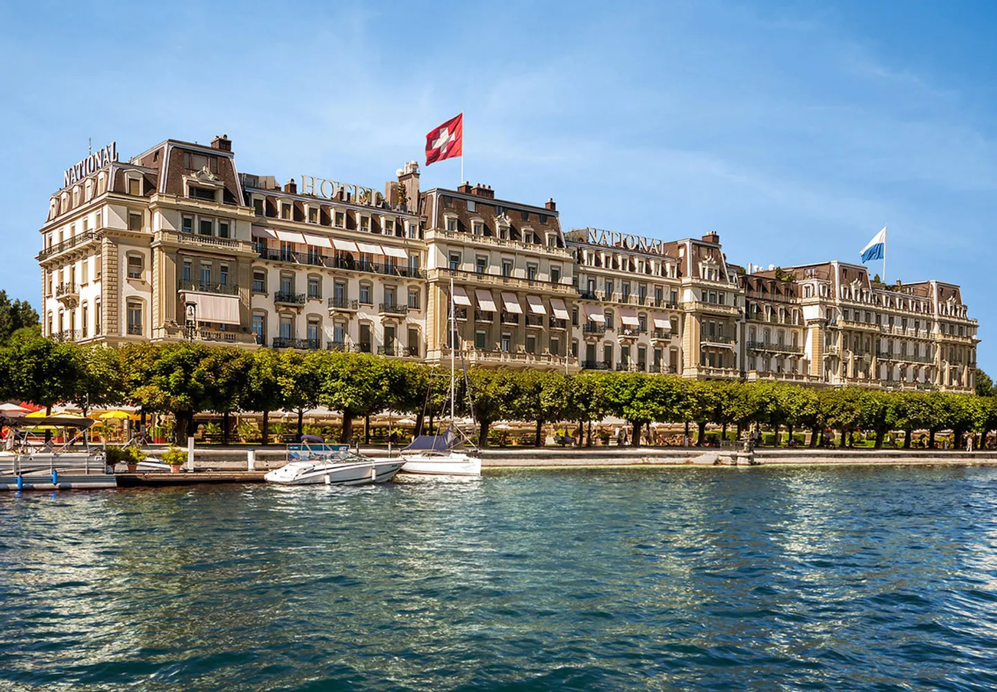
Zurich and Lucerne are the easy first or last nights of a Switzerland trip: Zurich as the gateway, Lucerne for its old town, the Chapel Bridge and swimming in the lake in summer.
I base it at Grand Hotel National Luzern, on the lakefront since 1870.
Researched profile: this page is written from my planning research and partner knowledge rather than a stay of my own here, and when that changes, this line comes off.
Every itinerary begins with a 20-minute planning call. From there, a $250 planning fee, credited in full toward your booked trip and non-refundable if you don’t book. I brief the property before you arrive — that's what the fee funds.
Plan your trip

